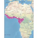
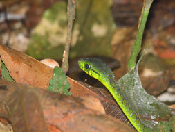
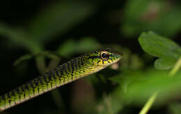
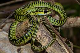
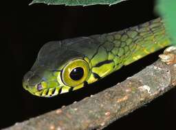
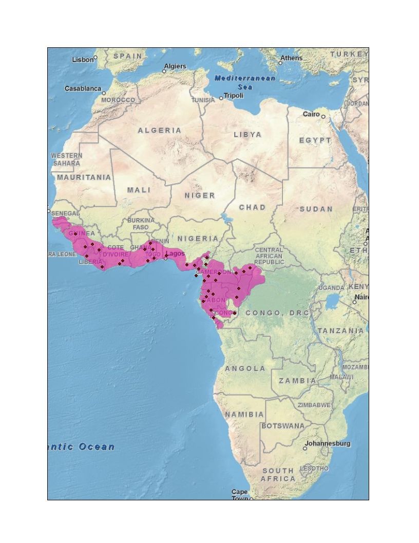
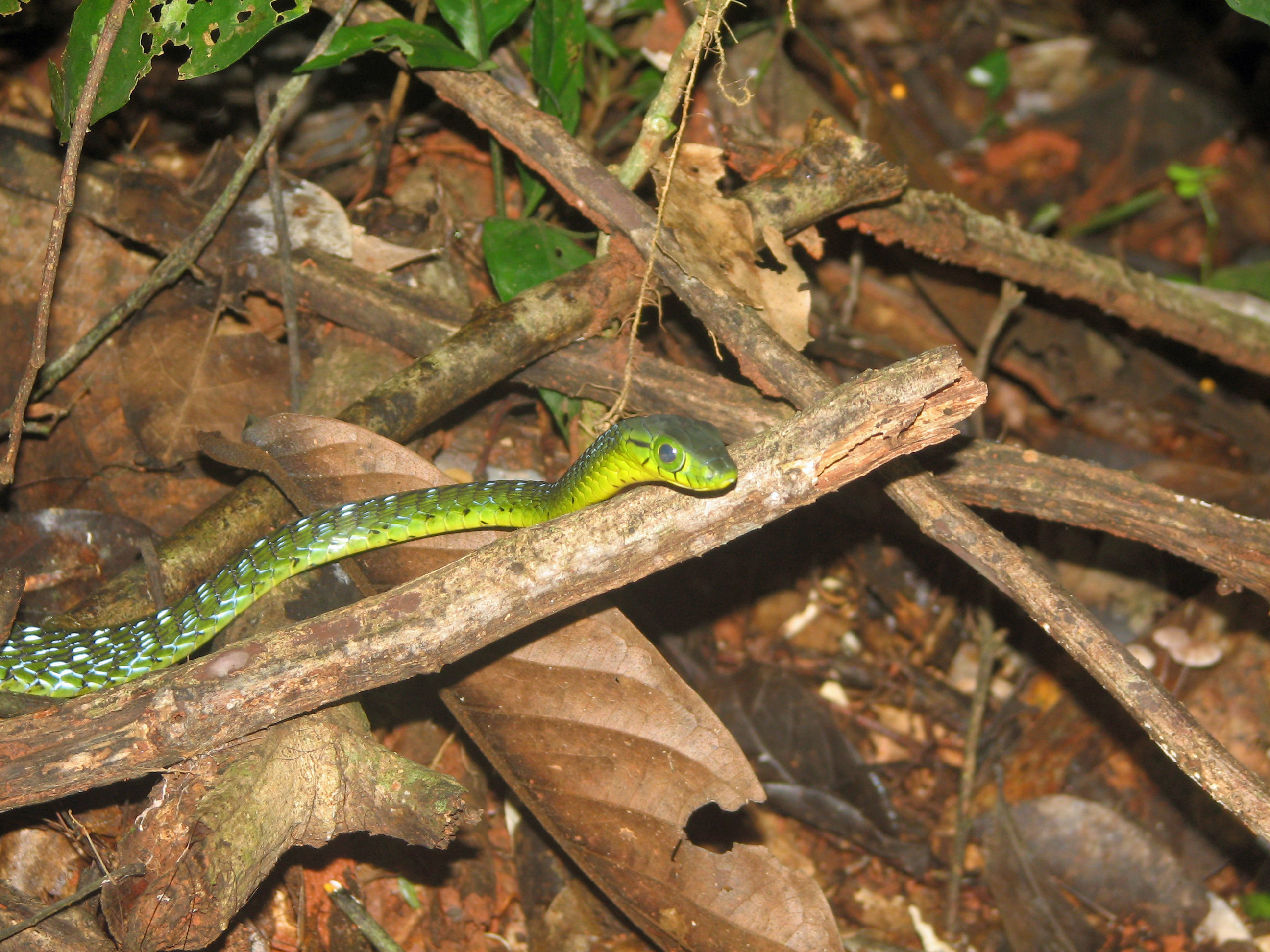
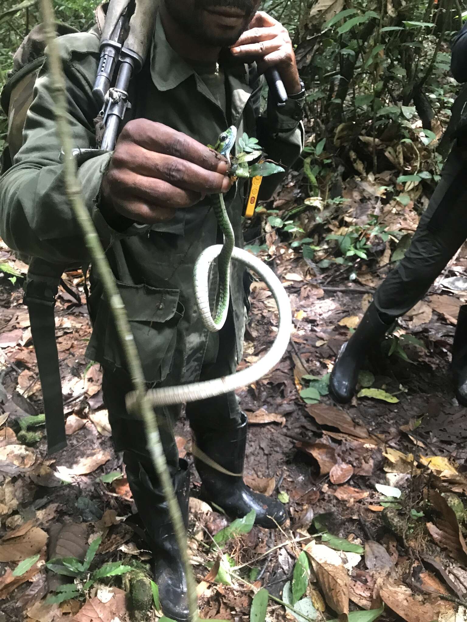
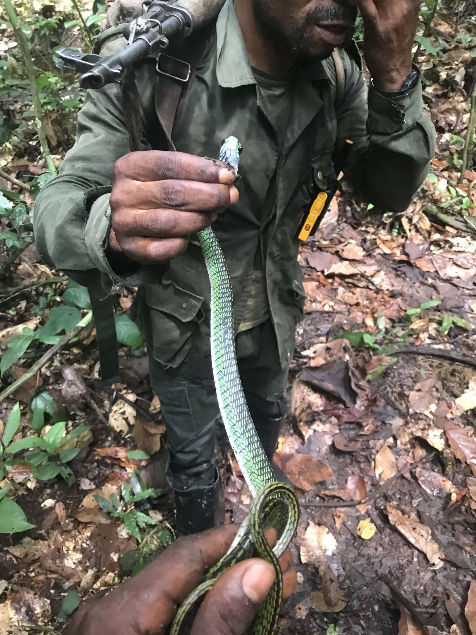
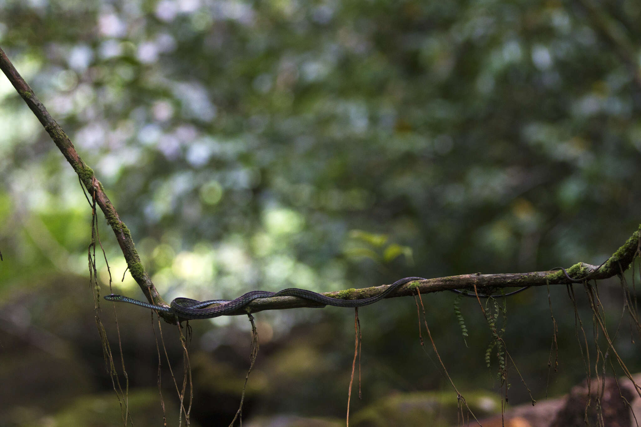
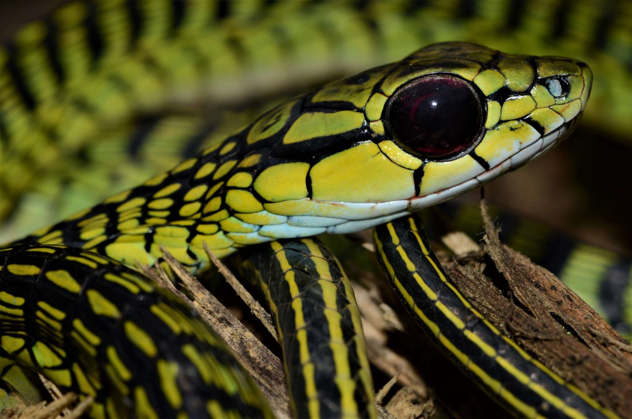
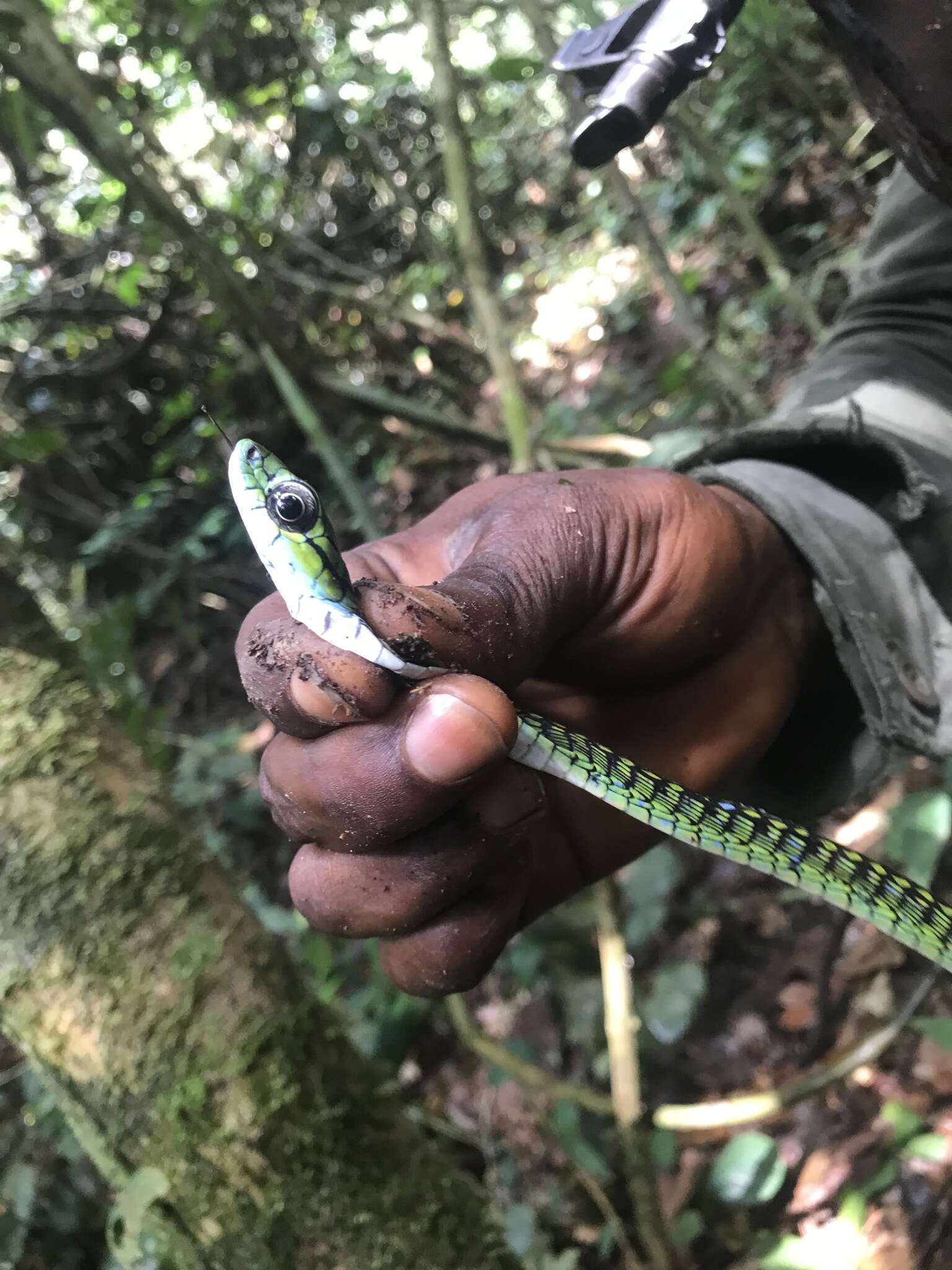
Shaded Area Distribution Map for Thrasops aethiopissaThis is a shaded area map for the species Thrasops aethiopissa from gps coordinate data provided by Dr. Kate Jackson. Please note that the boundaries are only rough approximations based on vegetation, altitude, and geographic entities (i.e. mountain ranges, streams, etc.) taken from GIS maps.
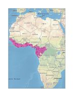
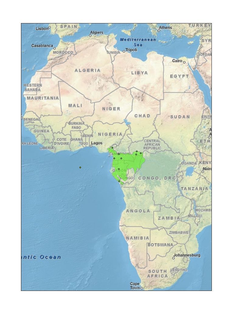
Shaded Area Distribution Map for Thrasops batesiiThis is a shaded area map for the species Thrasops batesii from gps coordinate data from Dr. Kate Jackson. Please note that the boundaries are only rough approximations based on vegetation, altitude, and geographic entities (i.e. mountain ranges, streams, etc.).