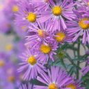
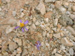
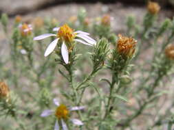
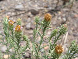
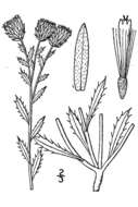
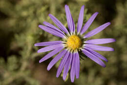
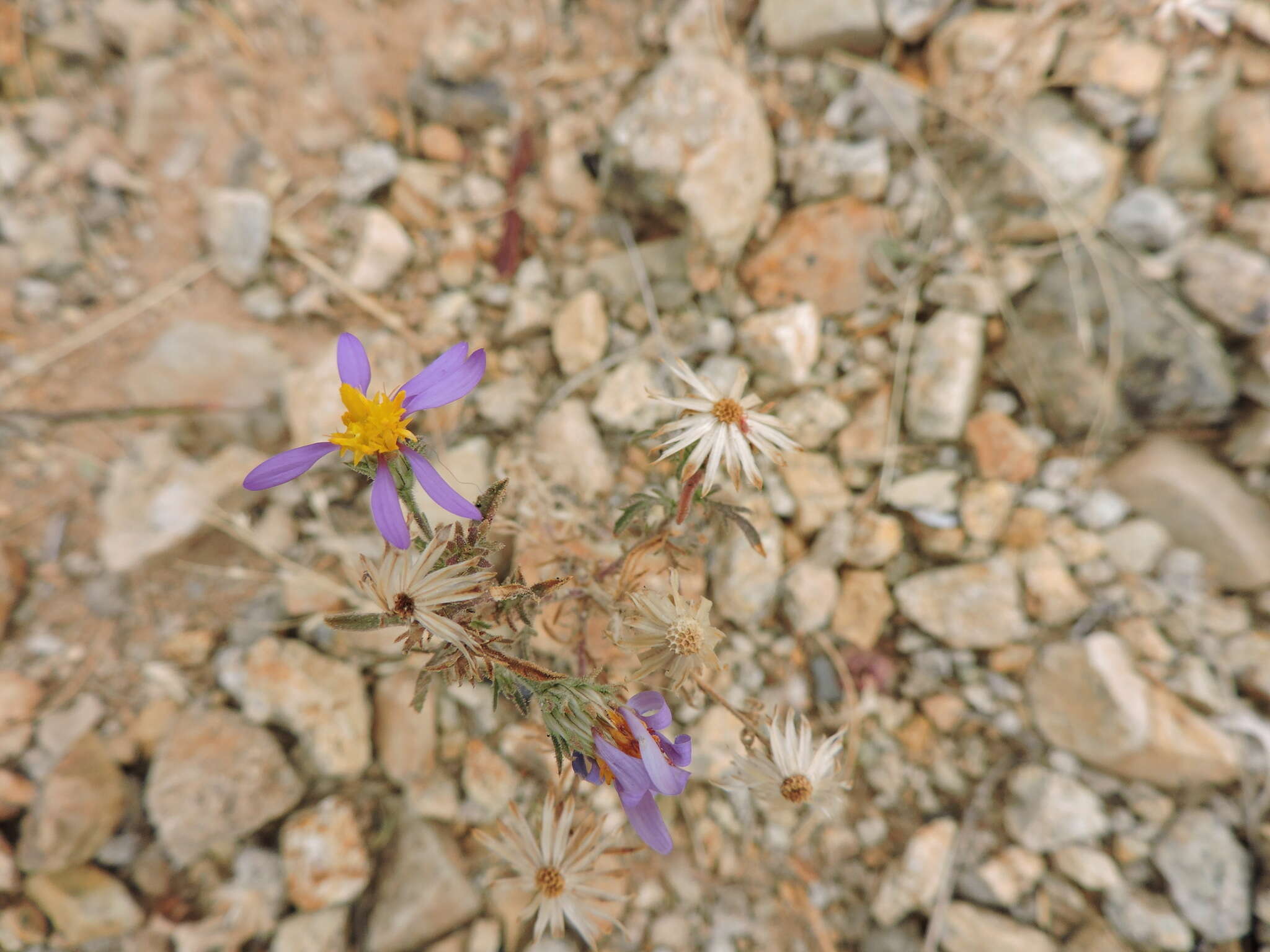
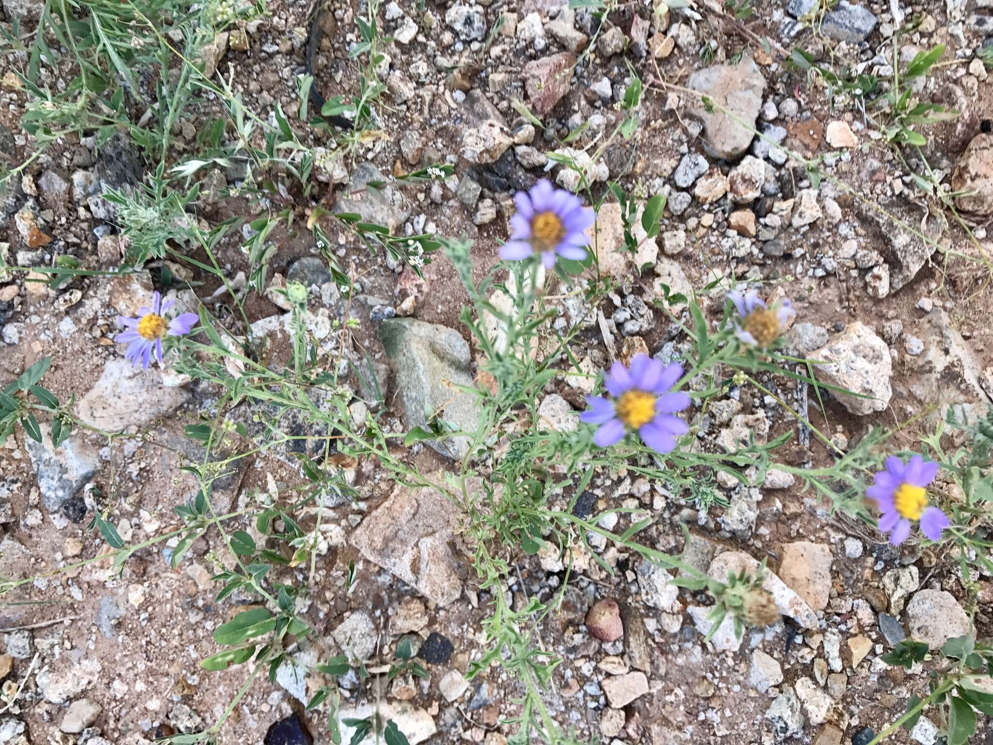
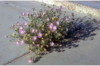
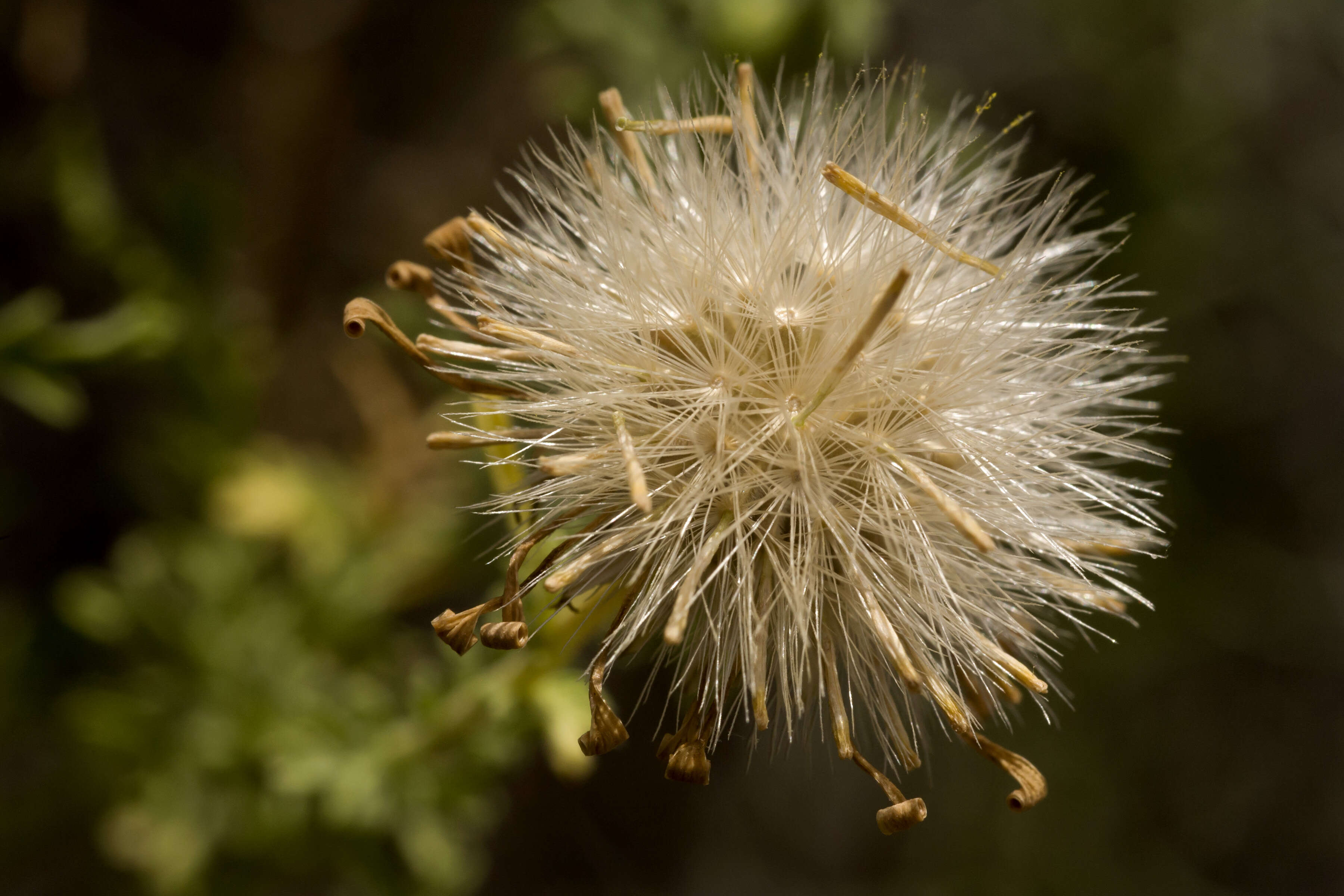
Description: Machaeranthera tanacetifolia, about a mile west-southwest of Goat Ridge, southwest of Cookes Range, 32.43728 -107.80353, Luna County, New Mexico, 19 Aug 2015. Date: 19 August 2015, 11:29. Source: Machaeranthera tanacetifolia. Author: Patrick Alexander from Las Cruces, NM. Camera location32° 26′ 14.21″ N, 107° 48′ 12.71″ WView all coordinates using: OpenStreetMap 32.437280; -107.803530.
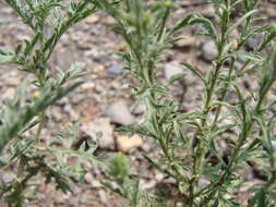
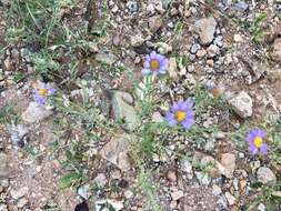
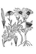
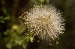
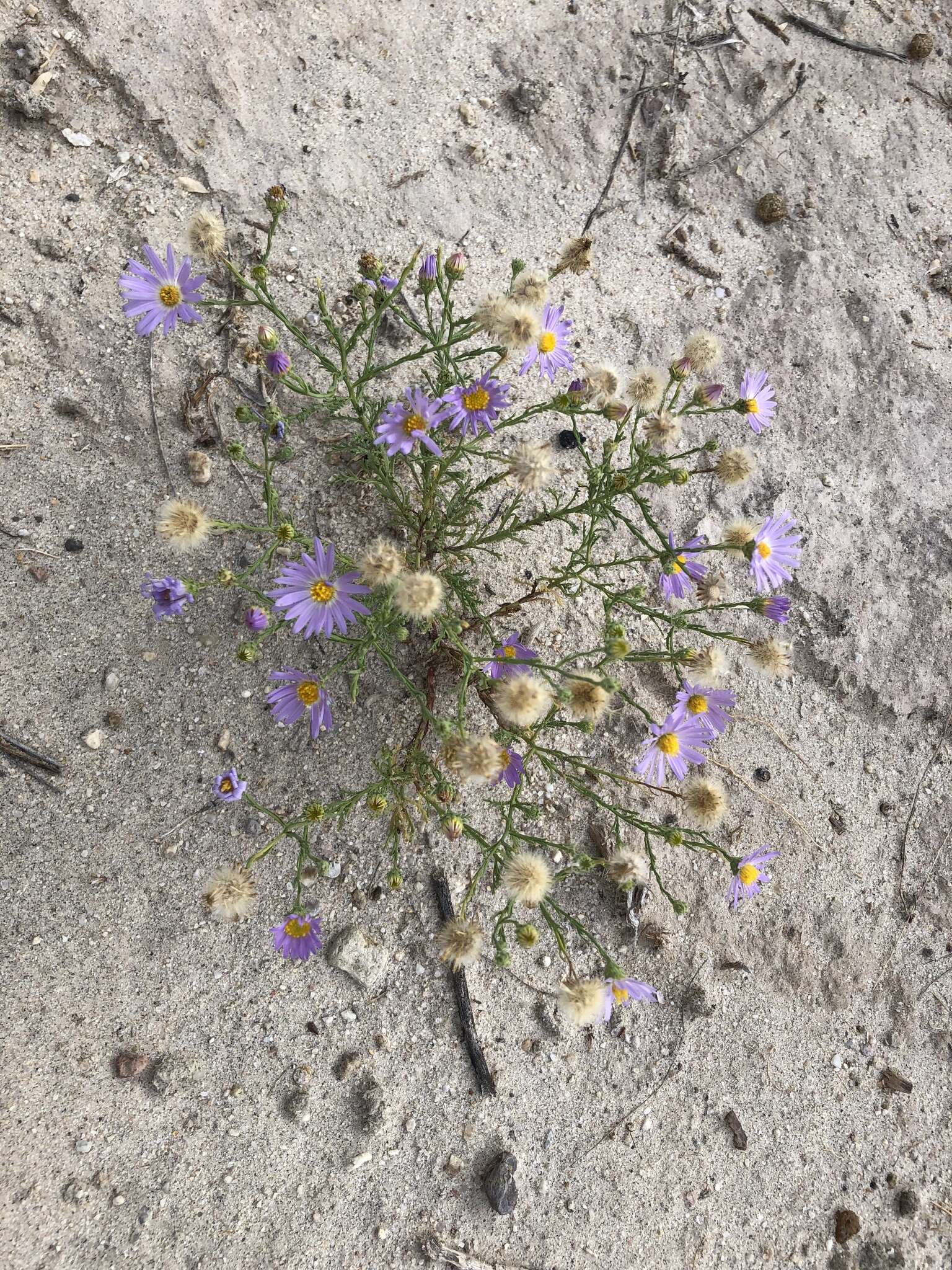
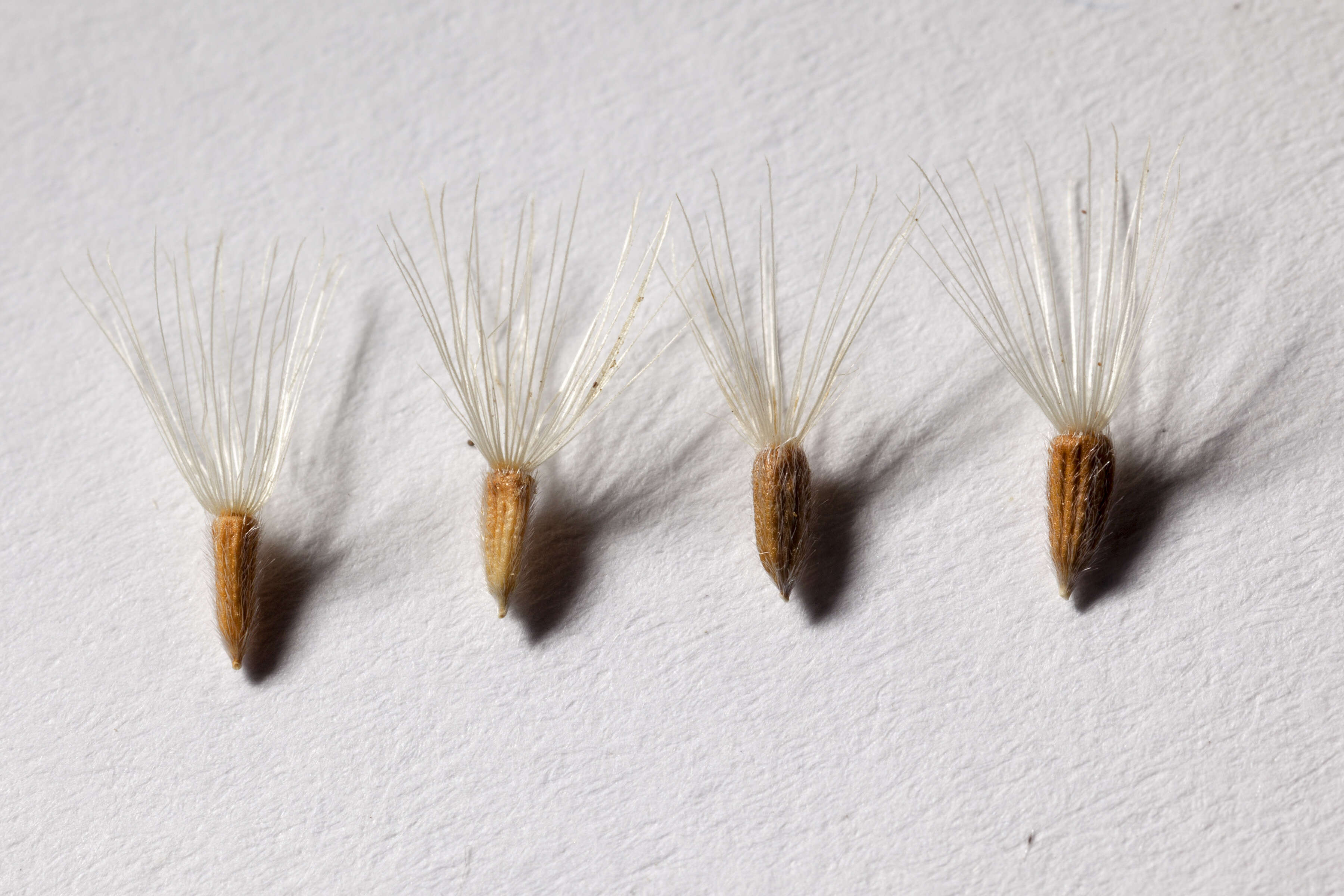
Description: Machaeranthera tanacetifolia, collected in the northwestern foothills of the Black Range, betwen Railroad Canyon and Kennedy Canyon on the northeast side of the Indian Peaks, 33.5980 -108.0073, Catron County, New Mexico, 27 Sep 2016. NM030-71. NM030-69. Photographed at the BLM Las Cruces District Office, 3 Oct 2016. Date: 3 October 2016, 12:00. Source: Machaeranthera tanacetifolia. Author: Patrick Alexander from Las Cruces, NM. Camera location33° 35′ 52.8″ N, 108° 00′ 26.28″ WView all coordinates using: OpenStreetMap 33.598000; -108.007300.
Description: Machaeranthera tanacetifolia, about a mile west-southwest of Goat Ridge, southwest of Cookes Range, 32.43728 -107.80353, Luna County, New Mexico, 19 Aug 2015. Date: 19 August 2015, 11:30. Source: Machaeranthera tanacetifolia. Author: Patrick Alexander from Las Cruces, NM. Camera location32° 26′ 14.21″ N, 107° 48′ 12.71″ WView all coordinates using: OpenStreetMap 32.437280; -107.803530.
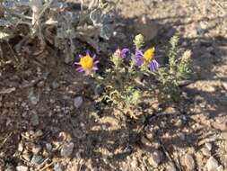
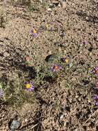
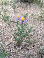
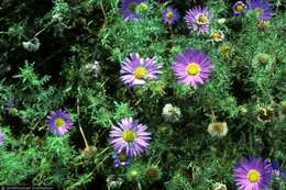
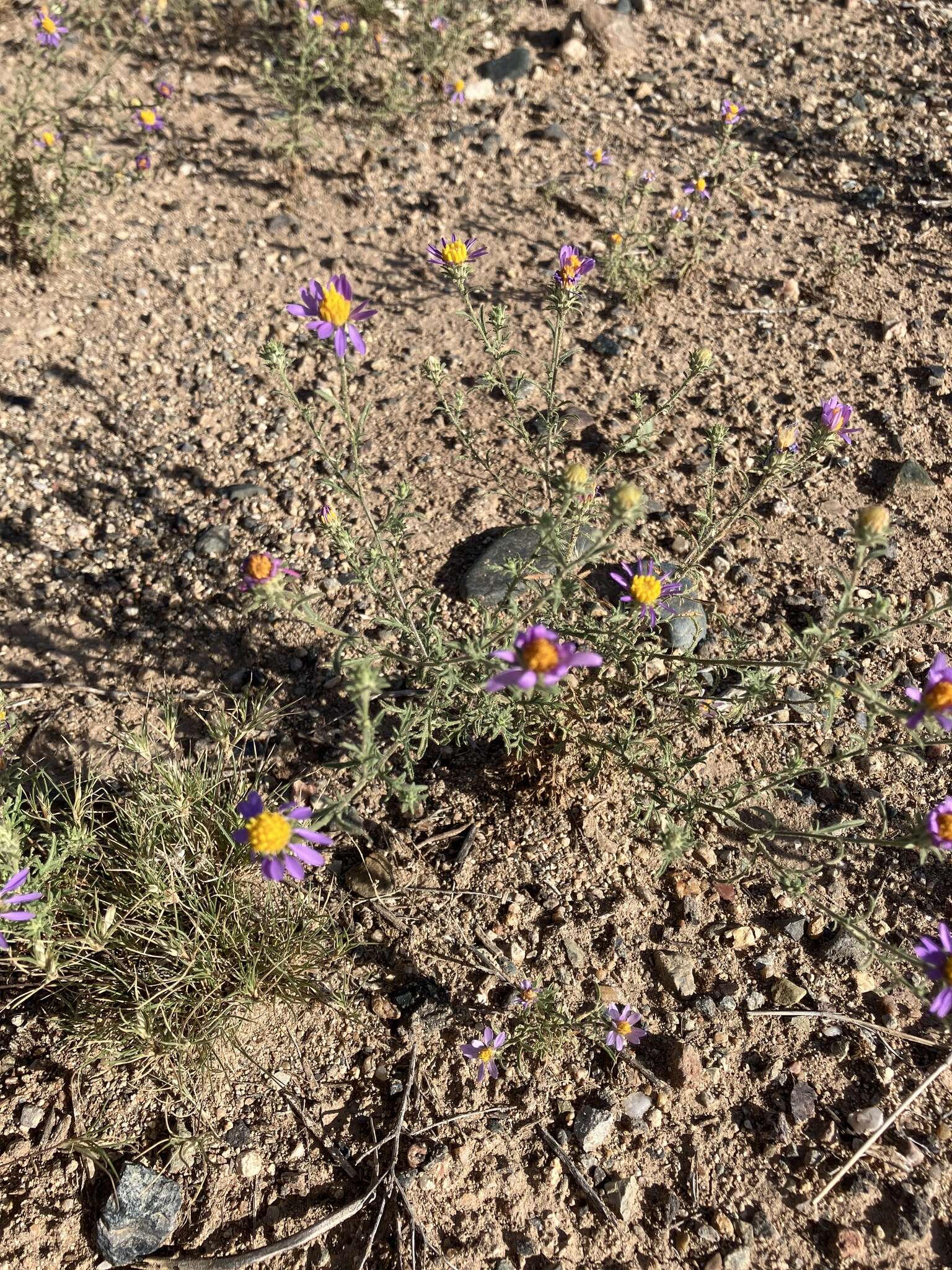
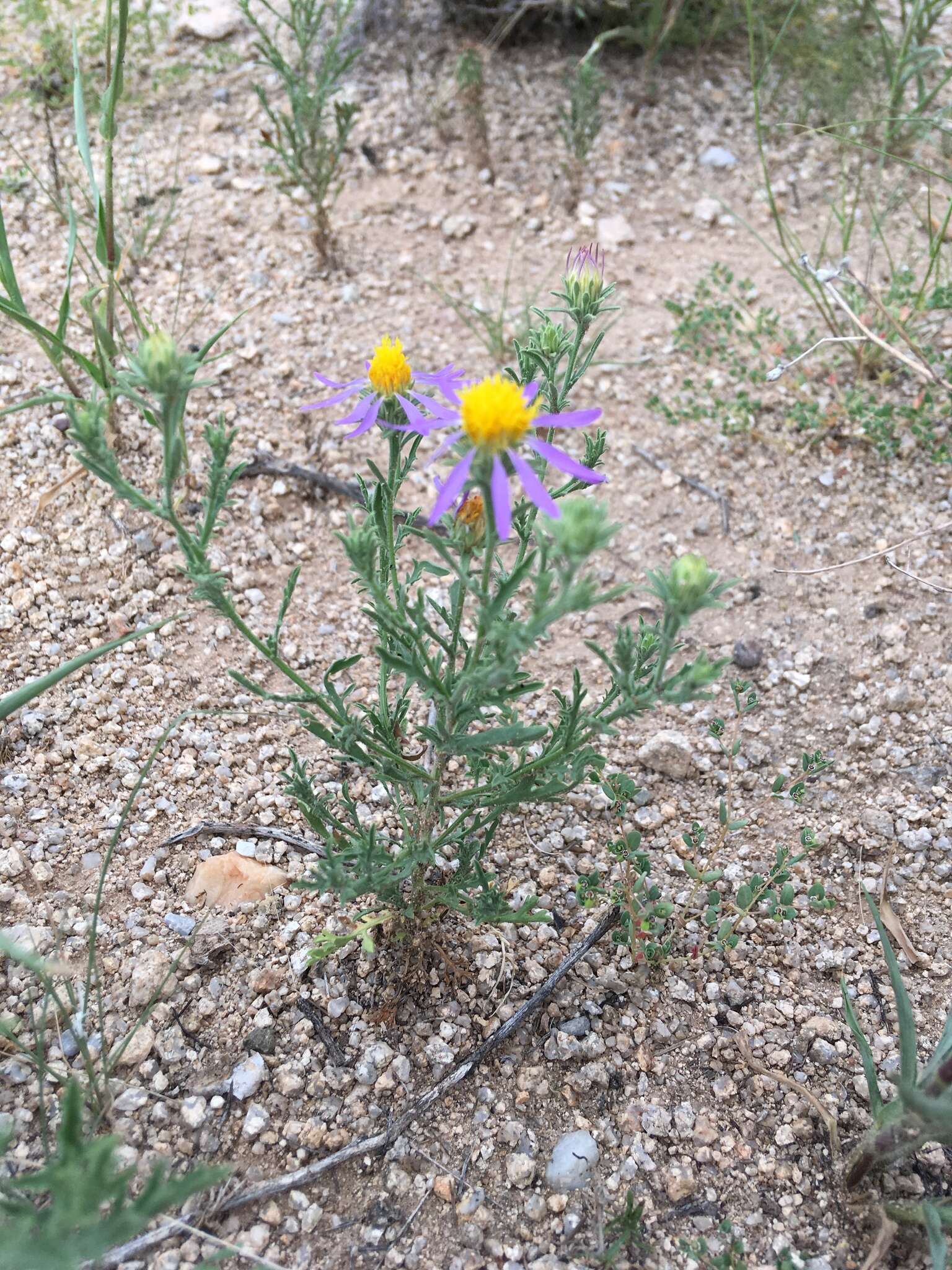
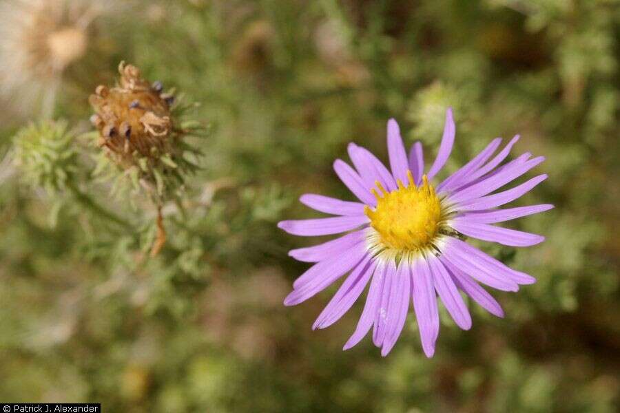
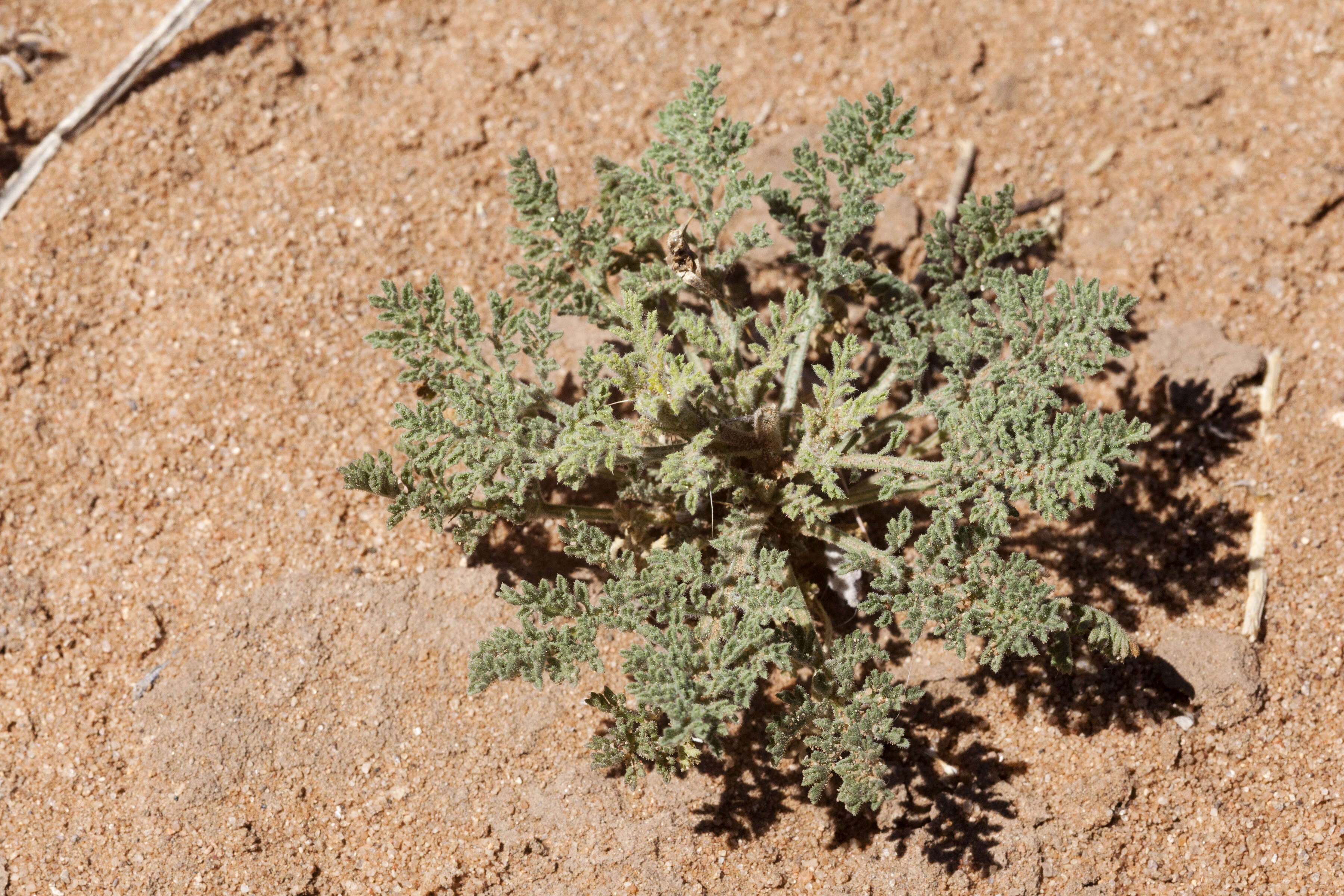
Description: Machaeranthera tanacetifolia, west of the Aden Hills, west-southwest of Daley Lake, and north of the West Potrillo Mountains, 32.2072 -107.1924, Doña Ana County, New Mexico, 3 Apr 2016. Date: 3 April 2016, 12:15. Source: Machaeranthera tanacetifolia. Author: Patrick Alexander from Las Cruces, NM. Camera location32° 12′ 25.92″ N, 107° 11′ 32.64″ WView all coordinates using: OpenStreetMap 32.207200; -107.192400.
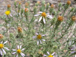
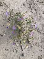
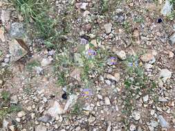
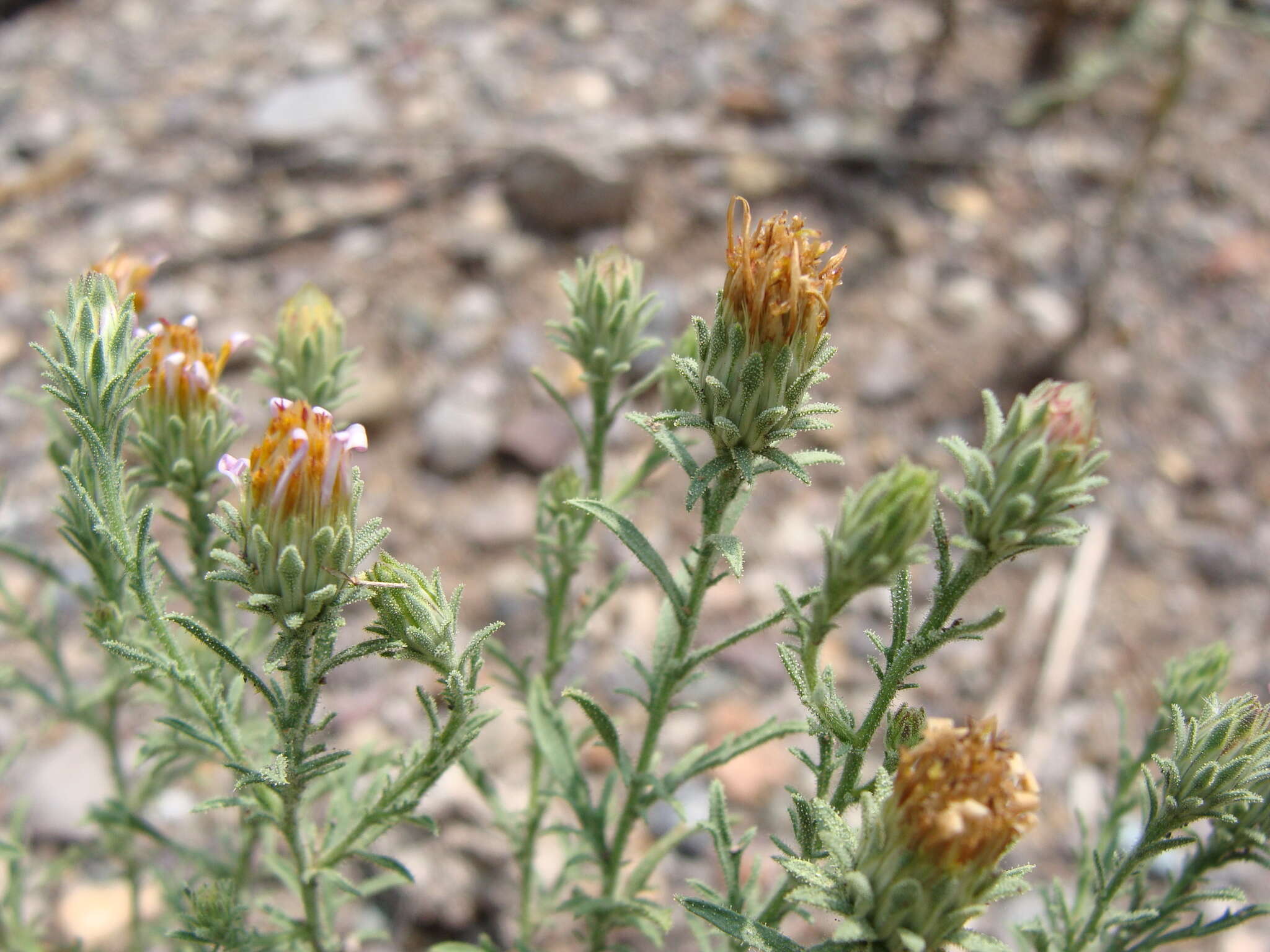
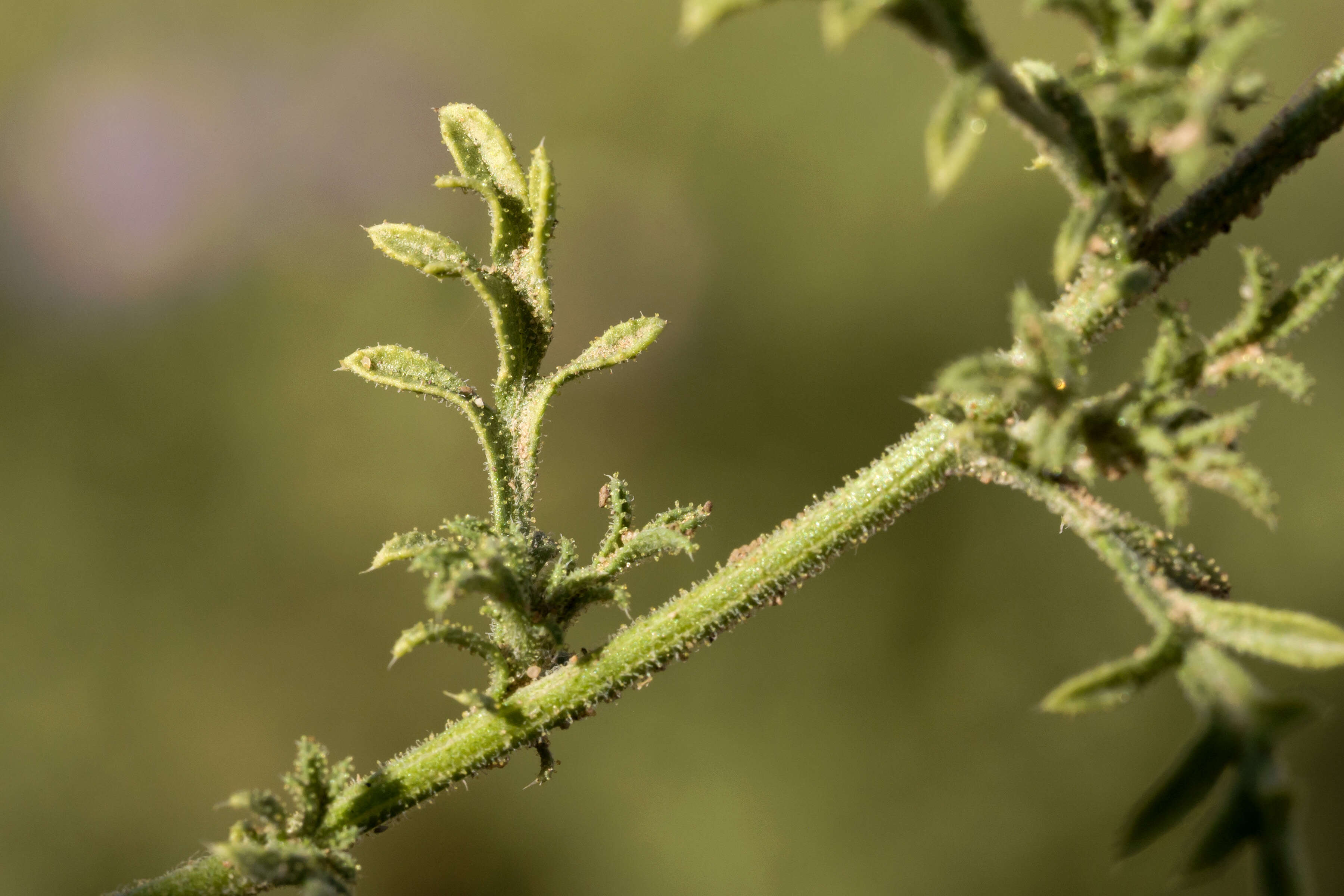
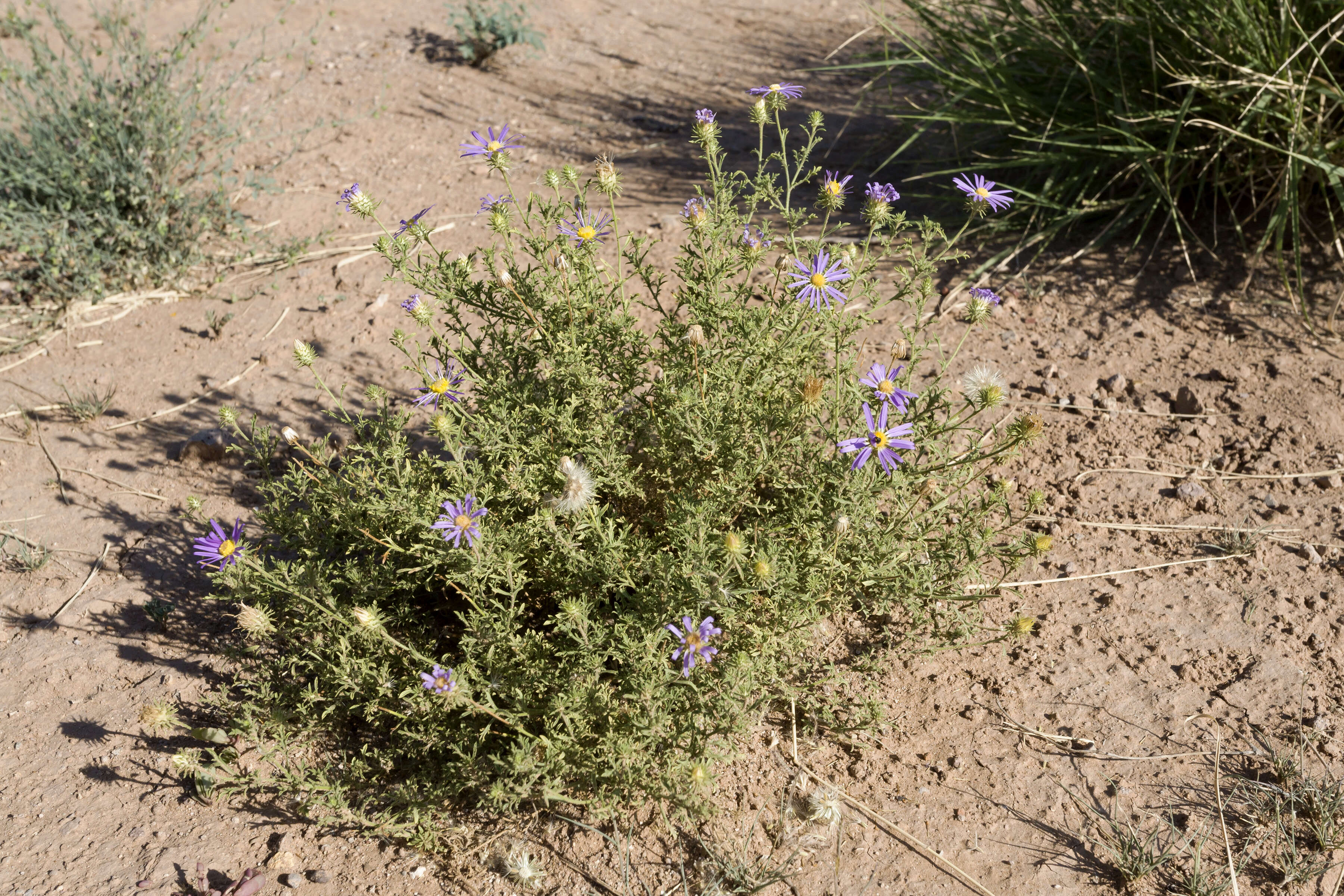
Description: Machaeranthera tanacetifolia, northeastern edge of Aden Malpais, west-northwest of Afton, 32.0846 -106.9934, Doña Ana County, New Mexico, 25 Sep 2015. Date: 25 September 2015, 17:33. Source: Machaeranthera tanacetifolia. Author: Patrick Alexander from Las Cruces, NM. Camera location32° 05′ 04.56″ N, 106° 59′ 36.24″ WView all coordinates using: OpenStreetMap 32.084600; -106.993400.
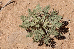
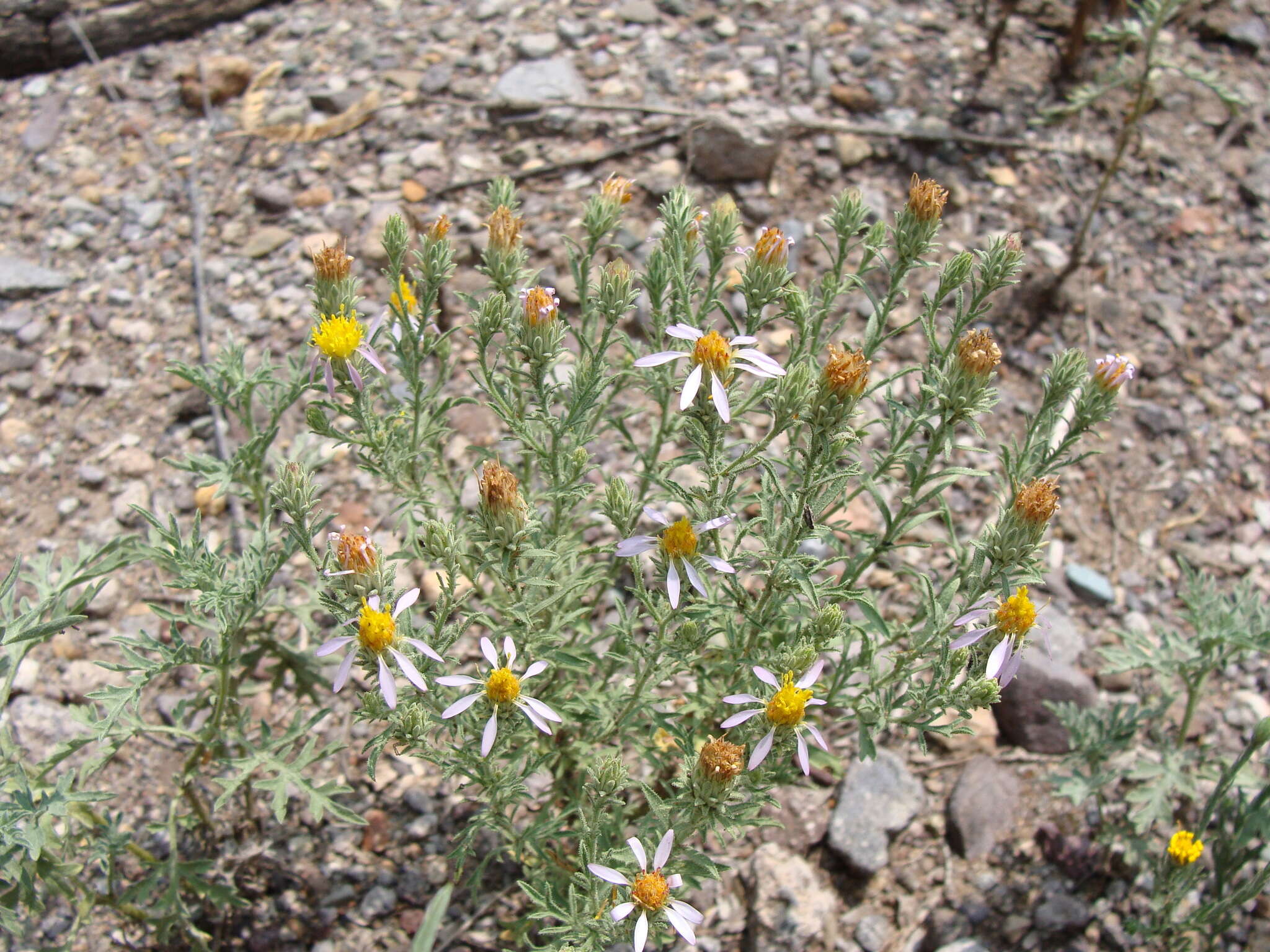
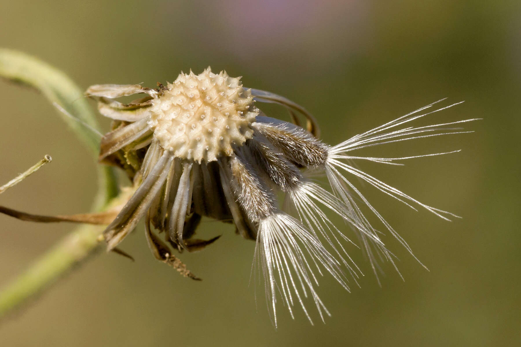
Description: Machaeranthera tanacetifolia, about a mile west-southwest of Goat Ridge, southwest of Cookes Range, 32.43728 -107.80353, Luna County, New Mexico, 19 Aug 2015. Date: 19 August 2015, 11:25. Source: Machaeranthera tanacetifolia. Author: Patrick Alexander from Las Cruces, NM. Camera location32° 26′ 14.21″ N, 107° 48′ 12.71″ WView all coordinates using: OpenStreetMap 32.437280; -107.803530.
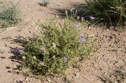
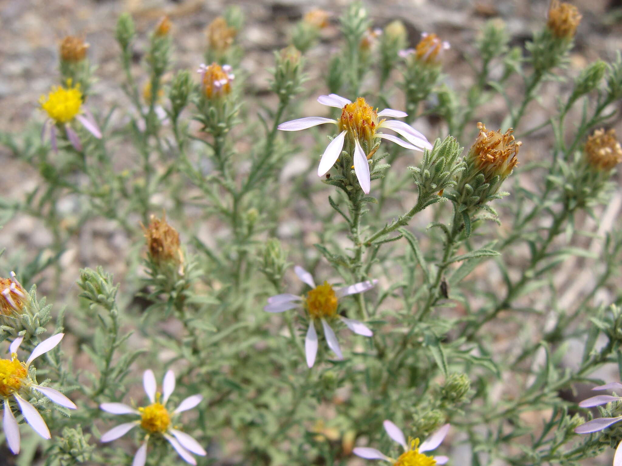
Description: Machaeranthera tanacetifolia, about a mile west-southwest of Goat Ridge, southwest of Cookes Range, 32.43728 -107.80353, Luna County, New Mexico, 19 Aug 2015. Date: 19 August 2015, 11:27. Source: Machaeranthera tanacetifolia. Author: Patrick Alexander from Las Cruces, NM. Camera location32° 26′ 14.21″ N, 107° 48′ 12.71″ WView all coordinates using: OpenStreetMap 32.437280; -107.803530.