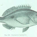
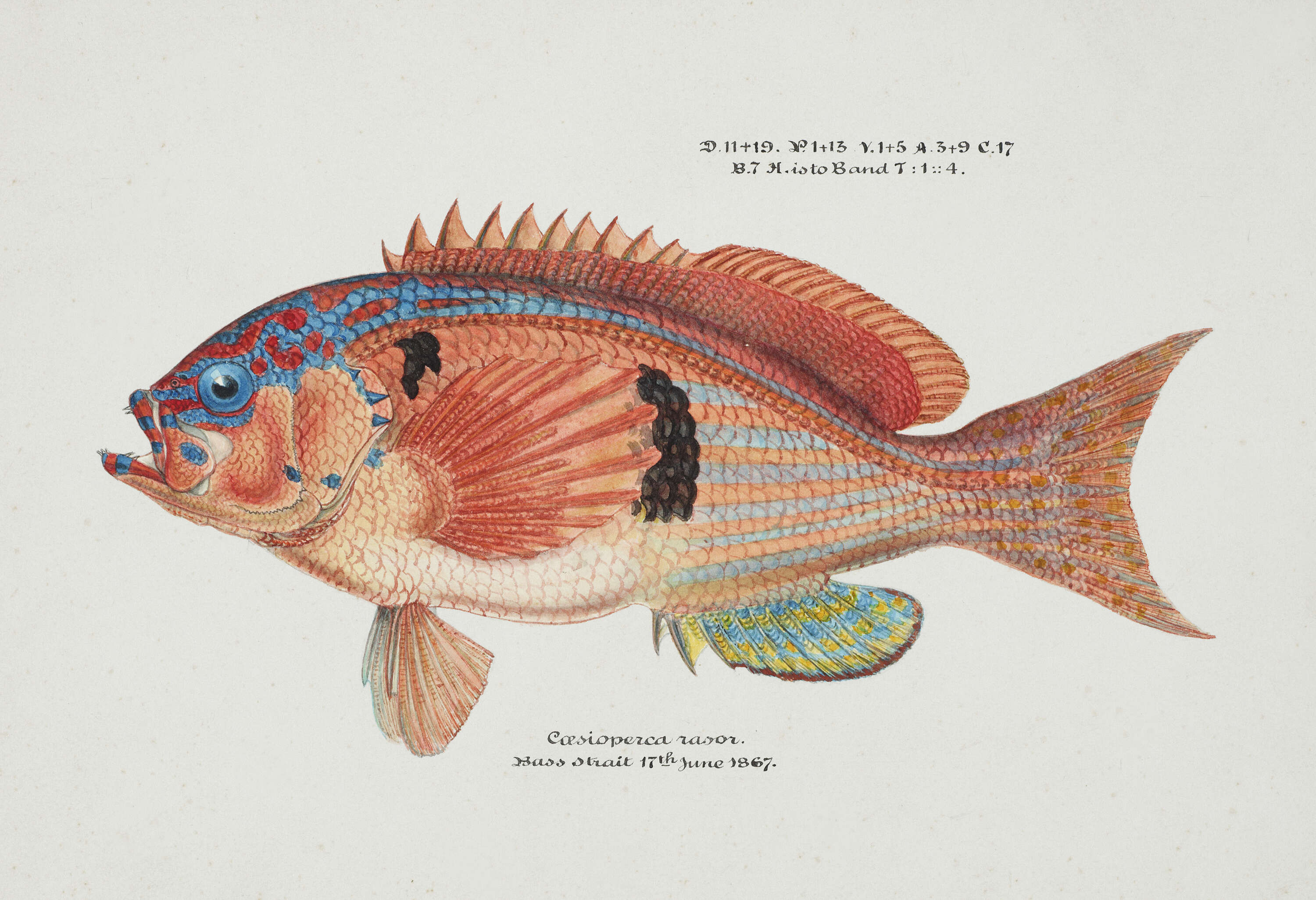
Description: English: Caesioperca rasor (Tas) : Sea perch, 1867, by Frank Edward Clarke. Purchased 1921. Te Papa (1992-0035-2278/106). Original image modified by Rawpixel. Date: 1867. Source: https://collections.tepapa.govt.nz/object/1244989. Author: Frank Edward Clarke (1849–1899) . . Description: scientific illustrator, scientist and ichthyologist. Date of birth/death: 1849 1 July 1899 . Location of birth: Suffolk. Authority control: : Q20683957. creator QS:P170,Q20683957. Permission(Reusing this file): No Known Copyright Restrictions. : This derivative work has been modified from the original image by cropping, minor retouching, or other minor changes. These changes are ineligible for copyright and therefore this image remains available under the same terms as the original image. A valid license tag must accompany this tag or the image may be deleted. Deutsch | English | suomi | magyar | italiano | македонски | polski | sicilianu | +/−.
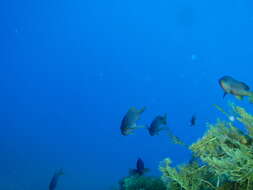
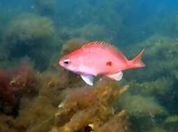
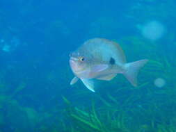
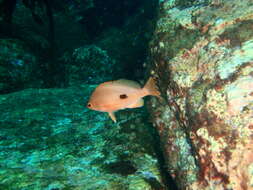
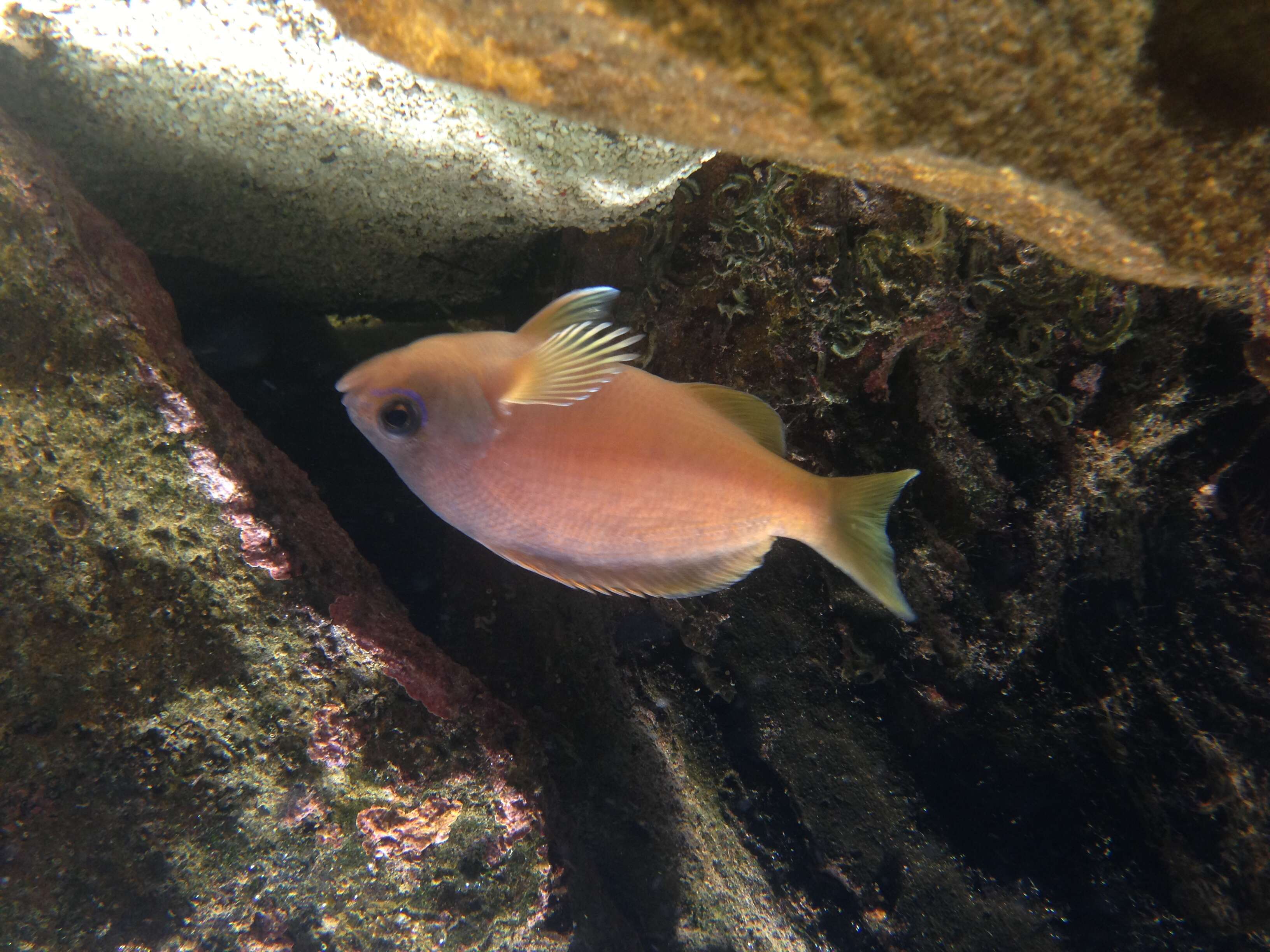
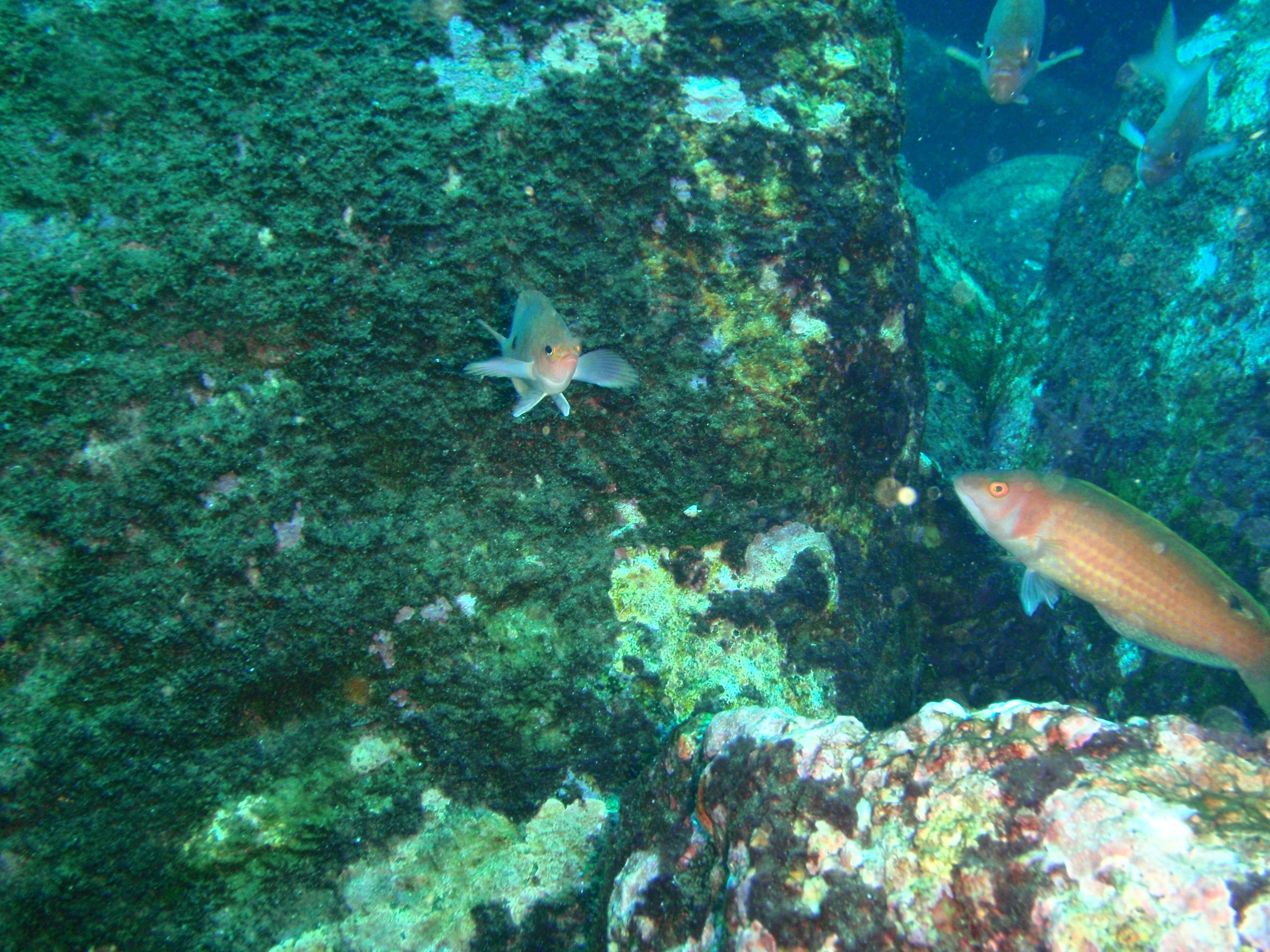
Description: English: Barber perch Caesioperca rasor at the north of Pearson Island, South Australia. Date: 6 January 2014, 09:31:34. Source: Own work. Author: Peter Southwood. Camera location33° 56′ 25.84″ S, 134° 16′ 17.36″ EView all coordinates using: OpenStreetMap-33.940510; 134.271490.
Description: English: Barber perch Caesioperca rasor at the north of Pearson Island, South Australia. Date: 6 January 2014, 09:31:40. Source: Own work. Author: Peter Southwood. Camera location33° 56′ 25.84″ S, 134° 16′ 17.36″ EView all coordinates using: OpenStreetMap-33.940510; 134.271490.
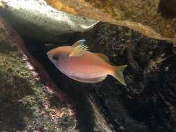
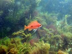
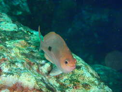
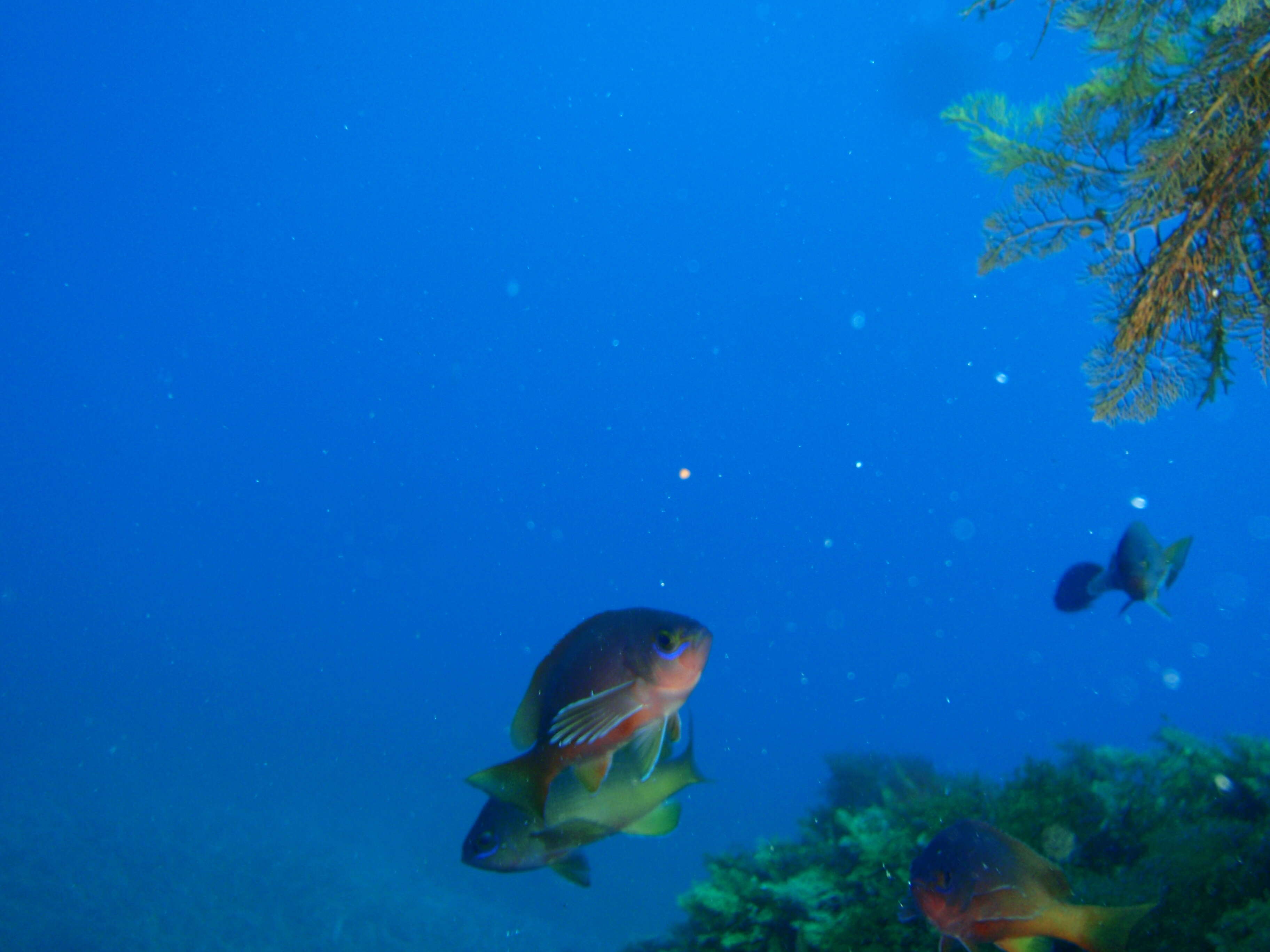
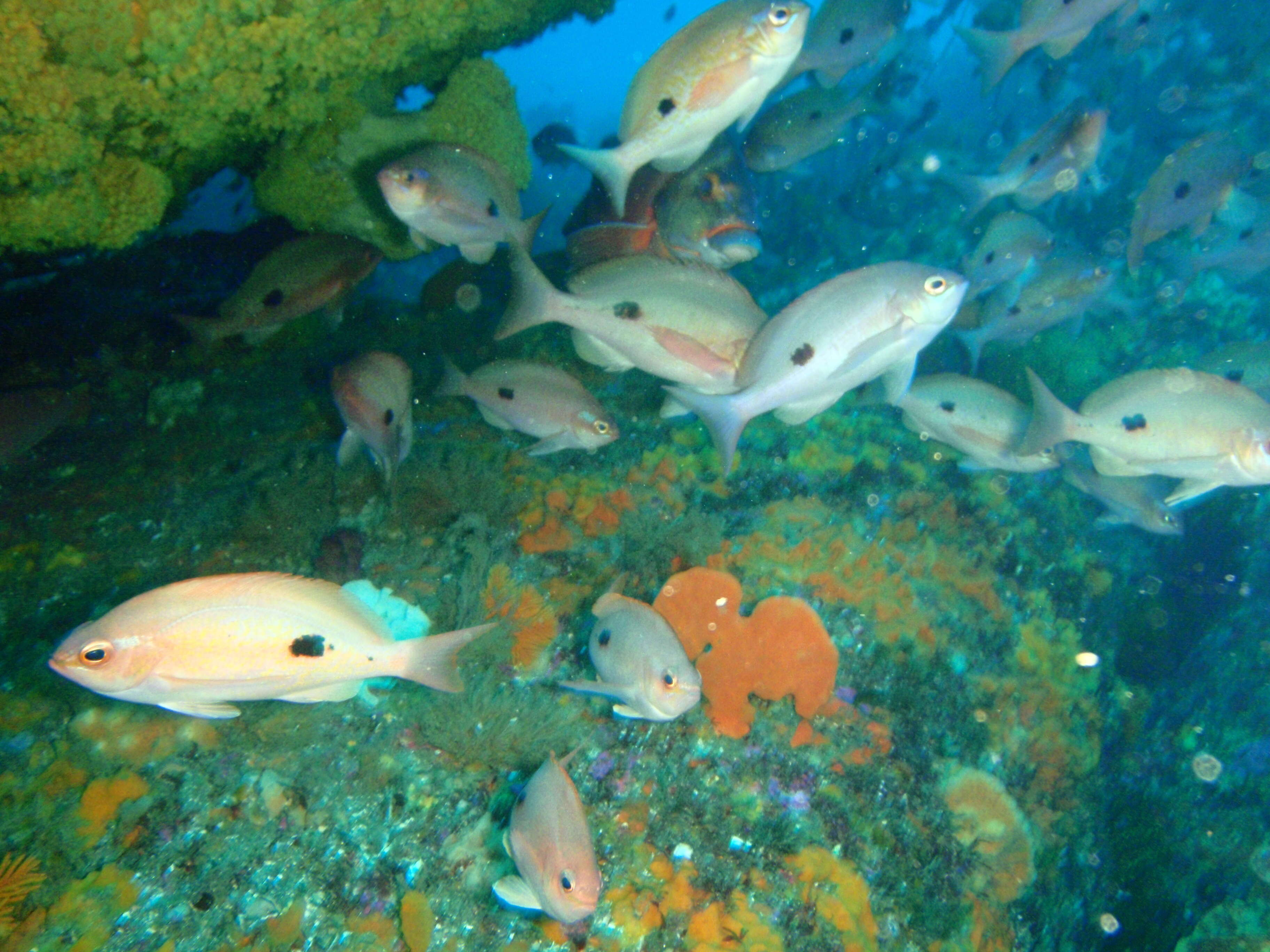
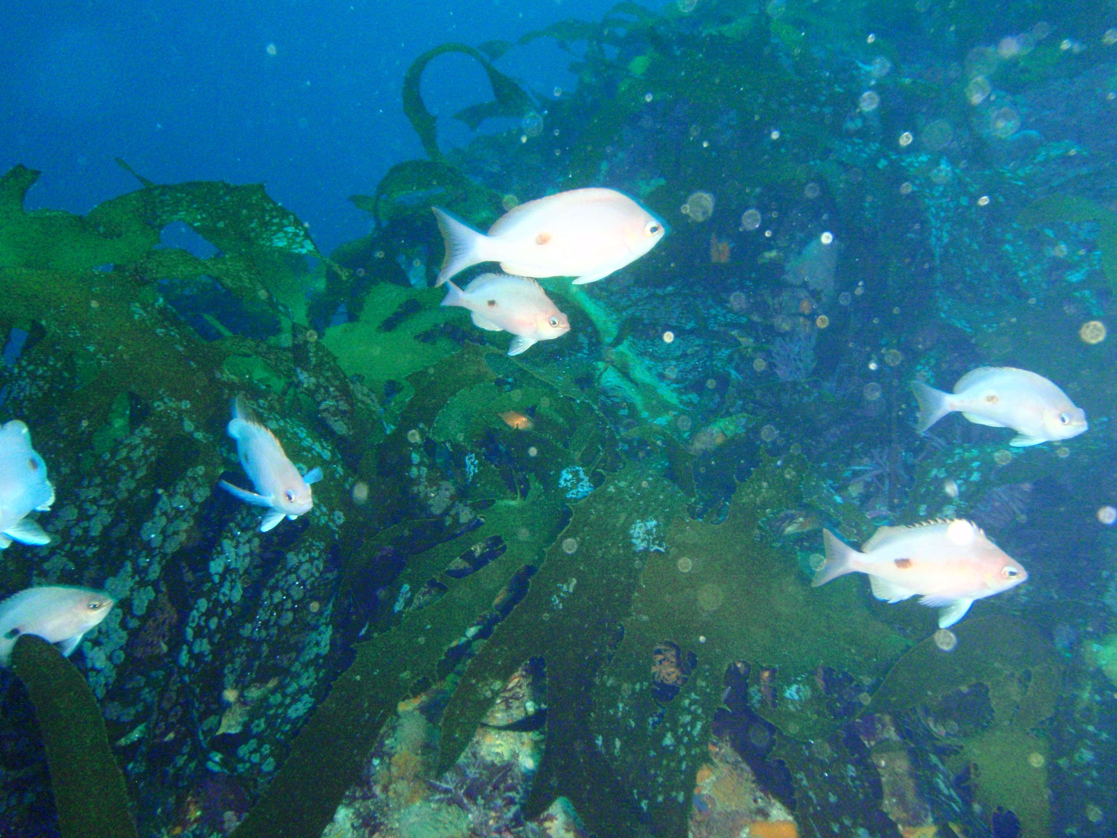
Description: English: Butterflty perch Caesioperca lepidoptera at Mistaken Cape, Maria Island, Tasmania. Date: 16 February 2014, 11:41:53. Source: Own work. Author: Peter Southwood. Camera location 42° 38′ 46.39″ S, 148° 09′ 47.59″ E: View all coordinates using: OpenStreetMap - Google Earth: -42.646220; 148.163220.
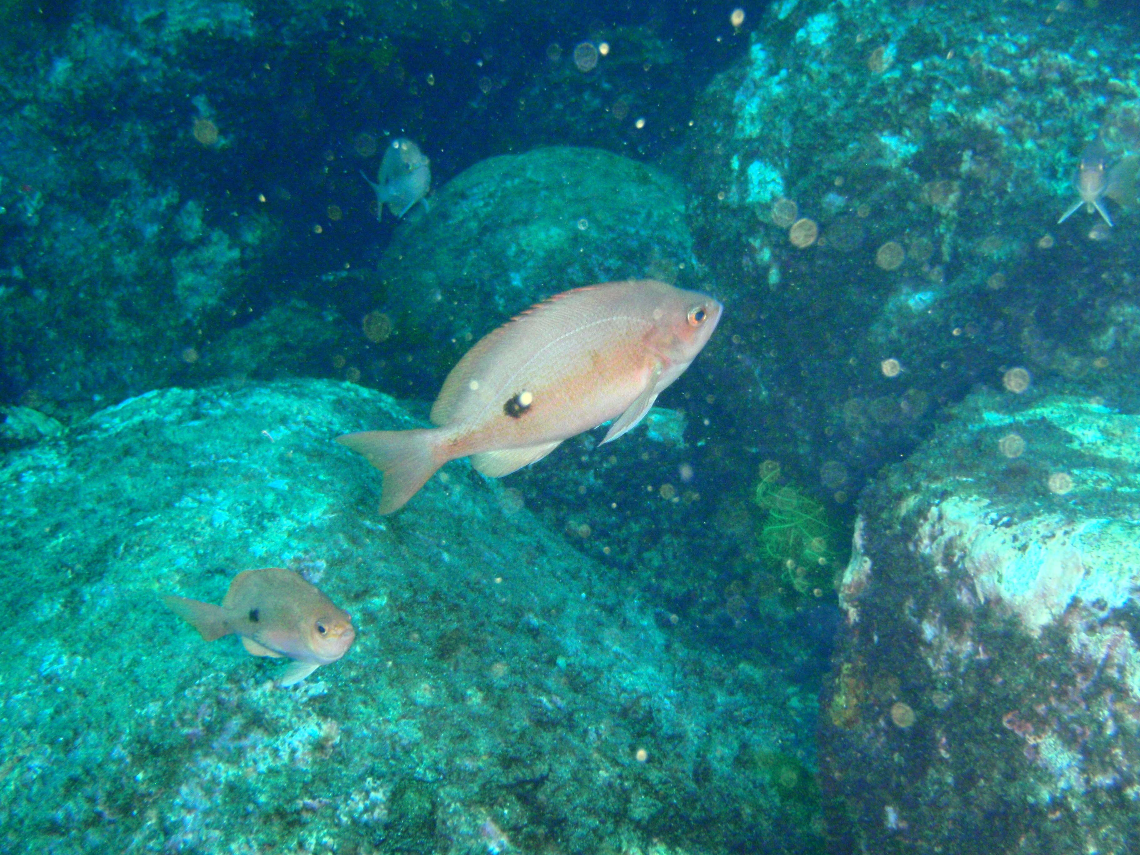
Description: English: Butterflty perch Caesioperca lepidoptera at Mistaken Cape, Maria Island, Tasmania. Date: 16 February 2014, 12:02:43. Source: Own work. Author: Peter Southwood. Camera location 42° 38′ 46.39″ S, 148° 09′ 47.59″ E: View all coordinates using: OpenStreetMap - Google Earth: -42.646220; 148.163220.
Description: English: Butterflty perch Caesioperca lepidoptera at Mistaken Cape, Maria Island, Tasmania. Date: 16 February 2014, 11:40:31. Source: Own work. Author: Peter Southwood. Camera location 42° 38′ 46.39″ S, 148° 09′ 47.59″ E: View all coordinates using: OpenStreetMap - Google Earth: -42.646220; 148.163220.
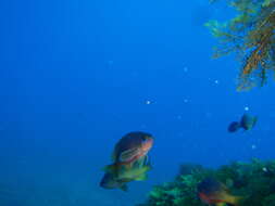
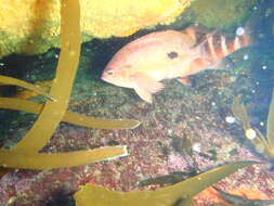
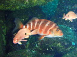
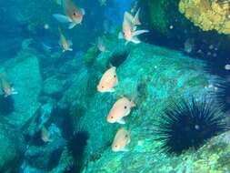
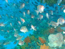
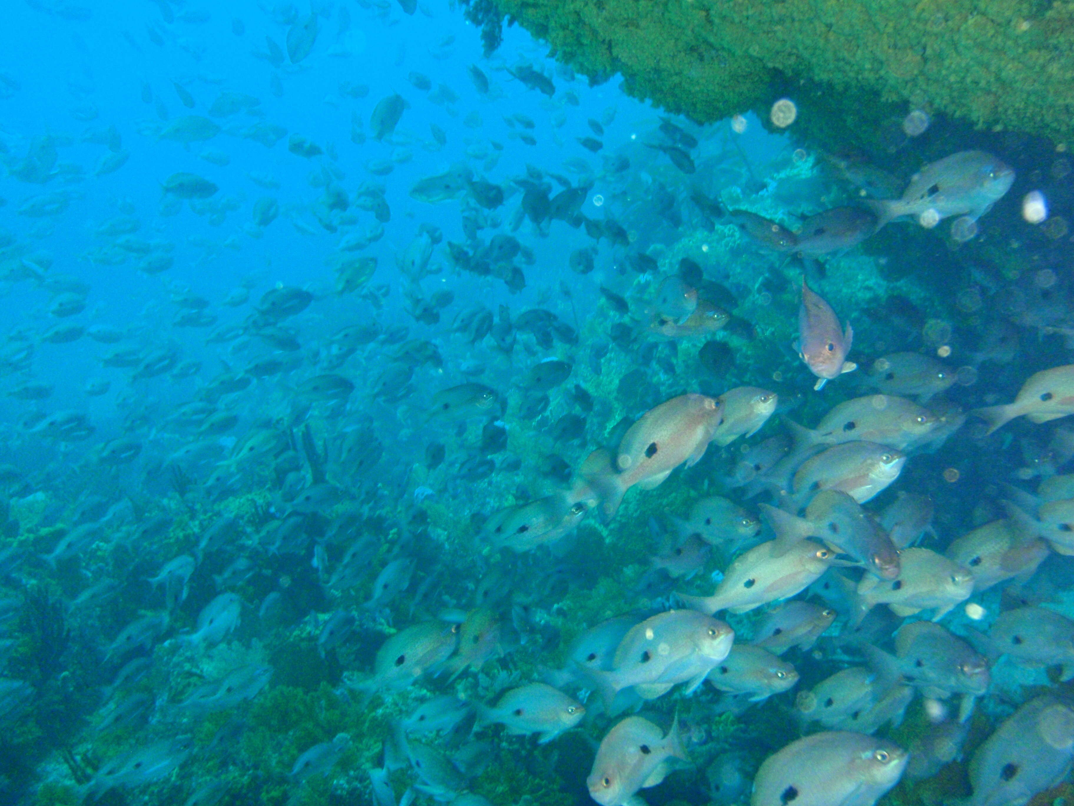
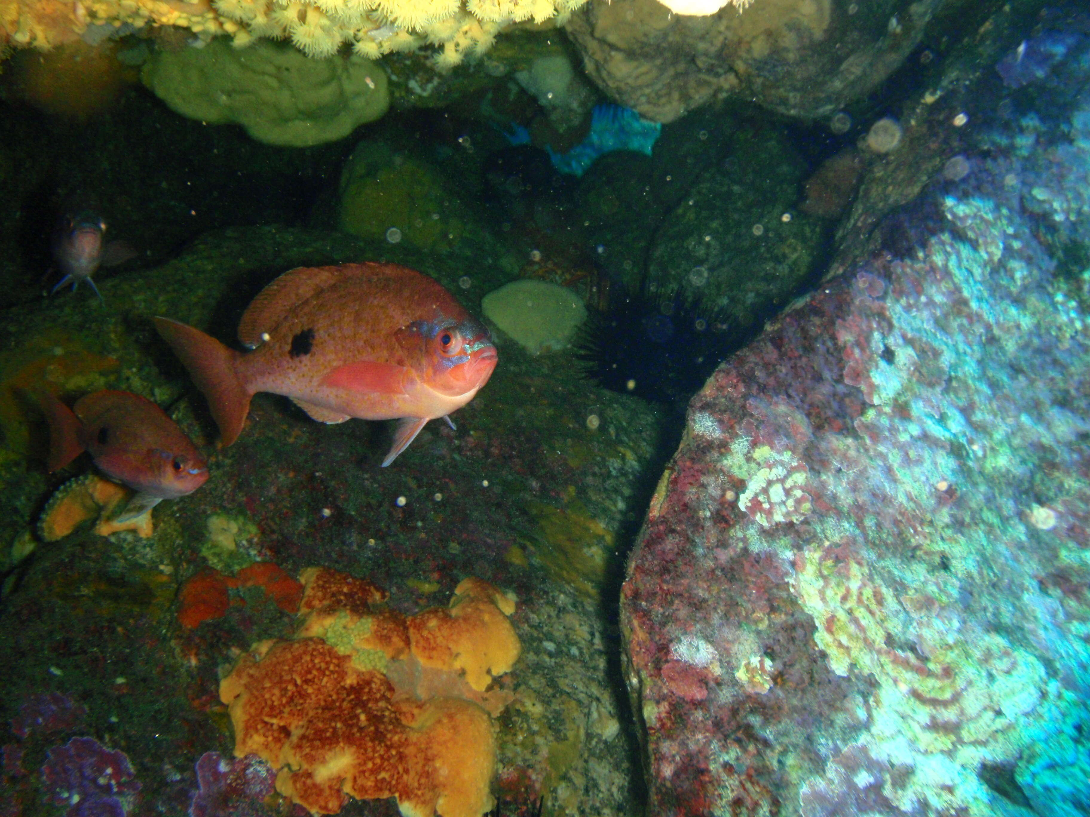
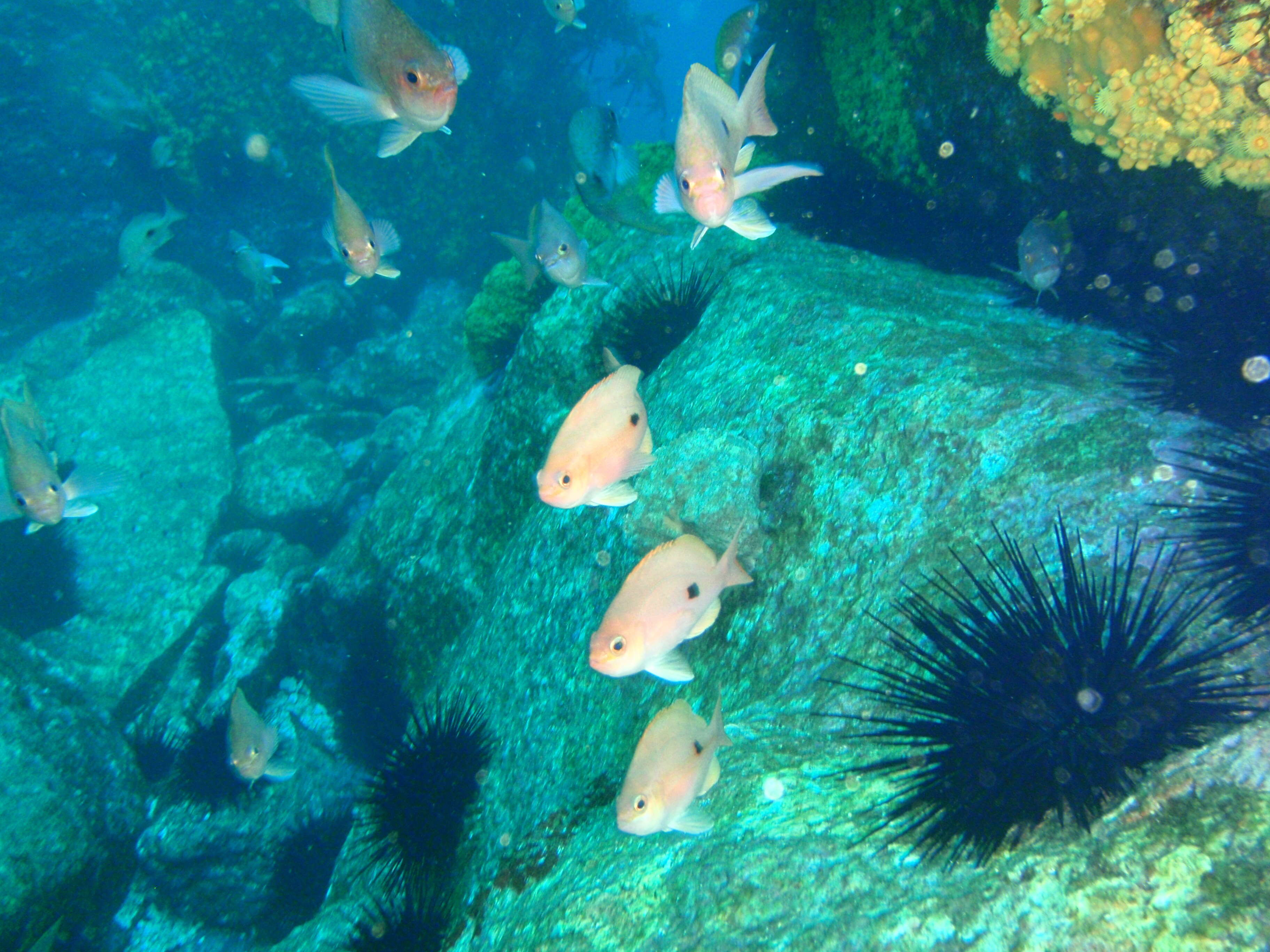
Description: English: Butterflty perch Caesioperca lepidoptera and banded morwong Cheilodactylus spectabilis at Mistaken Cape, Maria Island, Tasmania. Date: 16 February 2014, 14:48:08. Source: Own work. Author: Peter Southwood. Camera location 42° 38′ 46.39″ S, 148° 09′ 47.59″ E: View all coordinates using: OpenStreetMap - Google Earth: -42.646220; 148.163220.
Description: English: Butterflty perch Caesioperca lepidoptera at Mistaken Cape, Maria Island, Tasmania. Date: 16 February 2014, 14:47:04. Source: Own work. Author: Peter Southwood. Camera location 42° 38′ 46.39″ S, 148° 09′ 47.59″ E: View all coordinates using: OpenStreetMap - Google Earth: -42.646220; 148.163220.
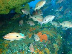
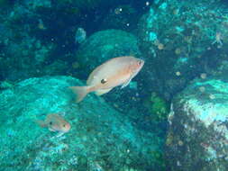
Description: English: Butterflty perch Caesioperca lepidoptera and rosy wrasse Pseudolabrus rubicundus at Mistaken Cape, Maria Island, Tasmania. Date: 16 February 2014, 14:44:09. Source: Own work. Author: Peter Southwood. Camera location 42° 38′ 46.39″ S, 148° 09′ 47.59″ E: View all coordinates using: OpenStreetMap - Google Earth: -42.646220; 148.163220.
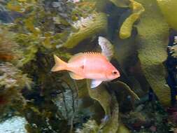
Description: English: Butterflty perch Caesioperca lepidoptera at Mistaken Cape, Maria Island, Tasmania. Date: 16 February 2014, 14:45:44. Source: Own work. Author: Peter Southwood. Camera location 42° 38′ 46.39″ S, 148° 09′ 47.59″ E: View all coordinates using: OpenStreetMap - Google Earth: -42.646220; 148.163220.
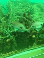
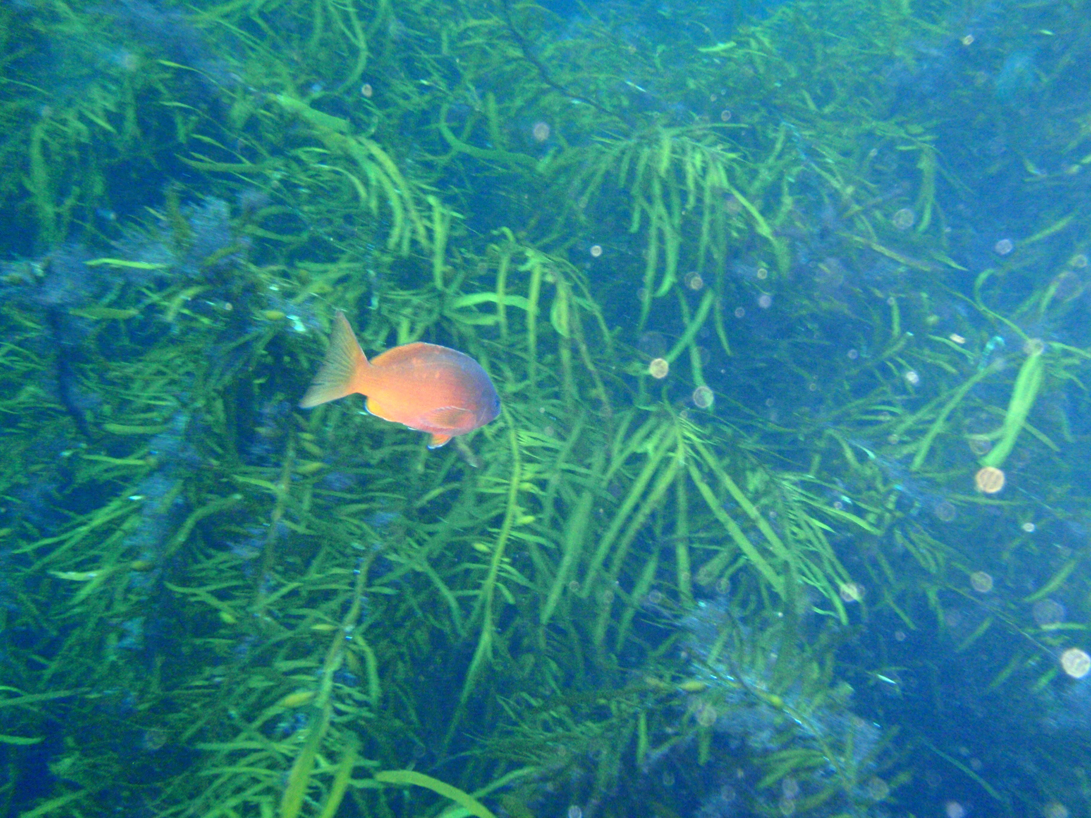
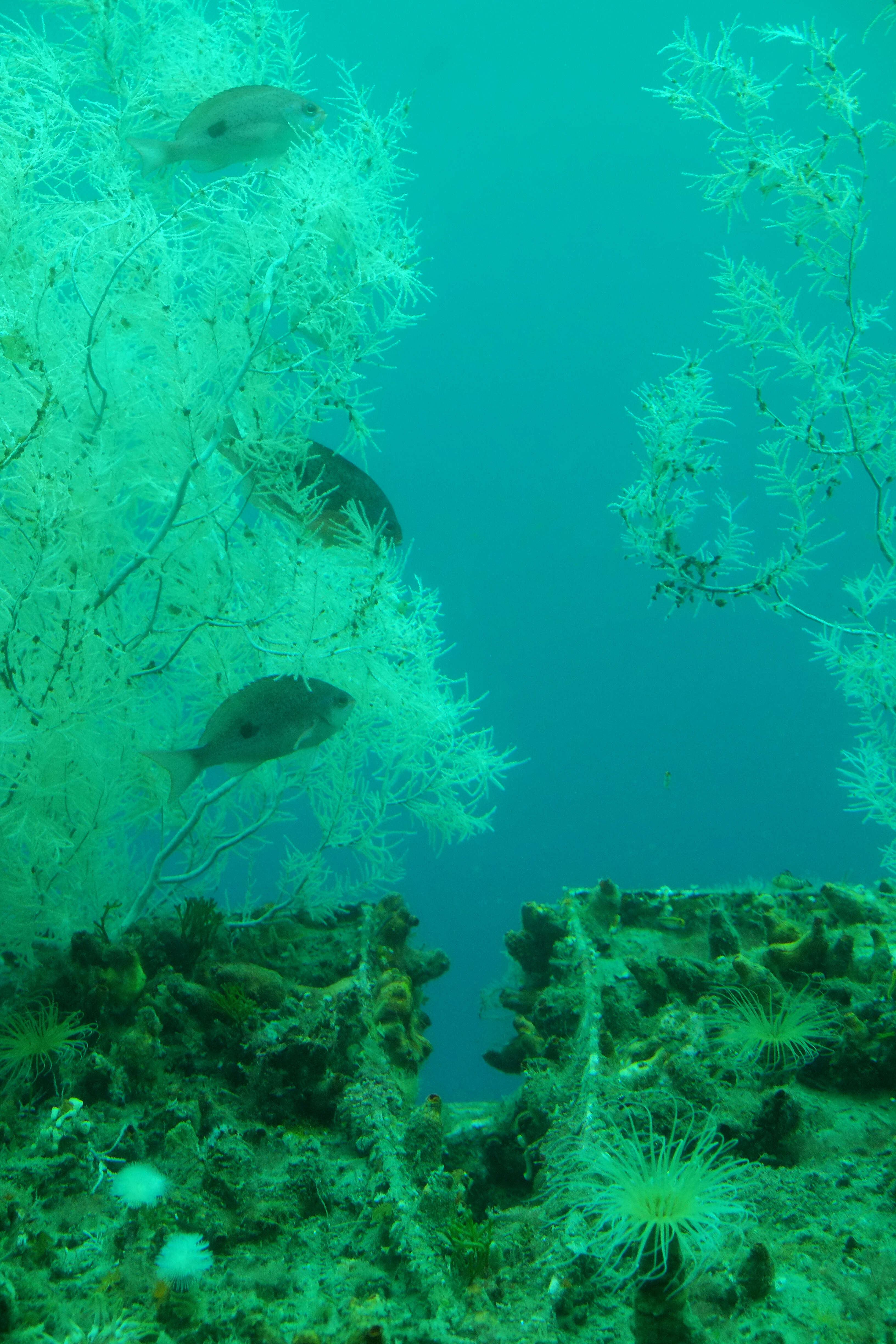
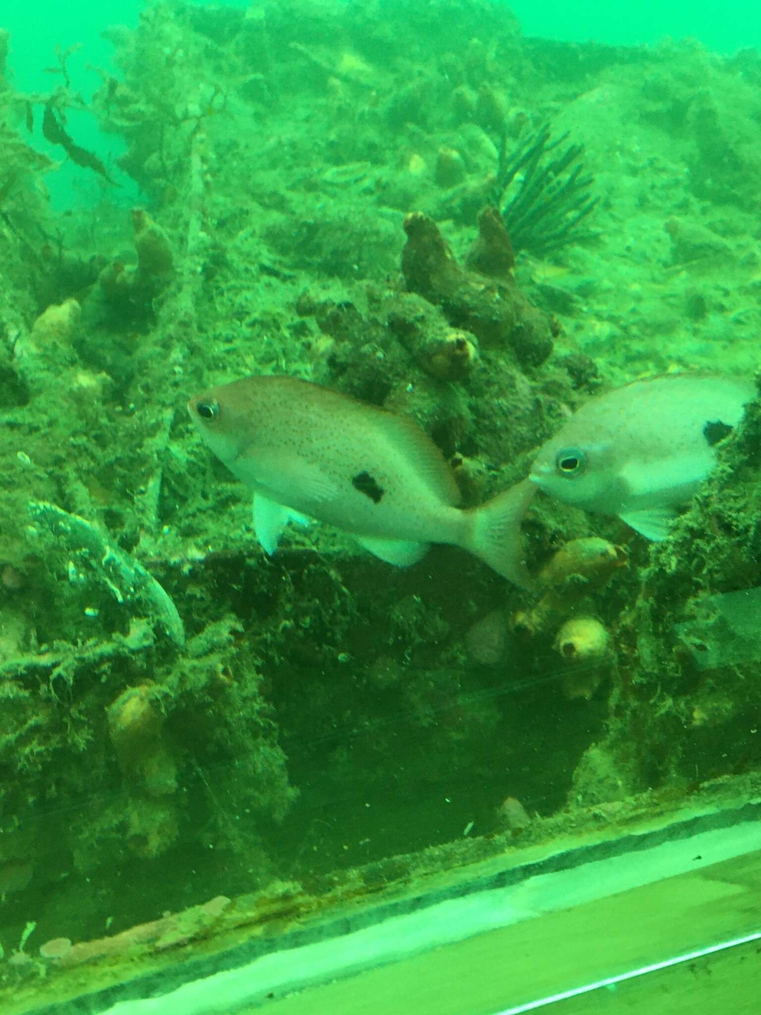
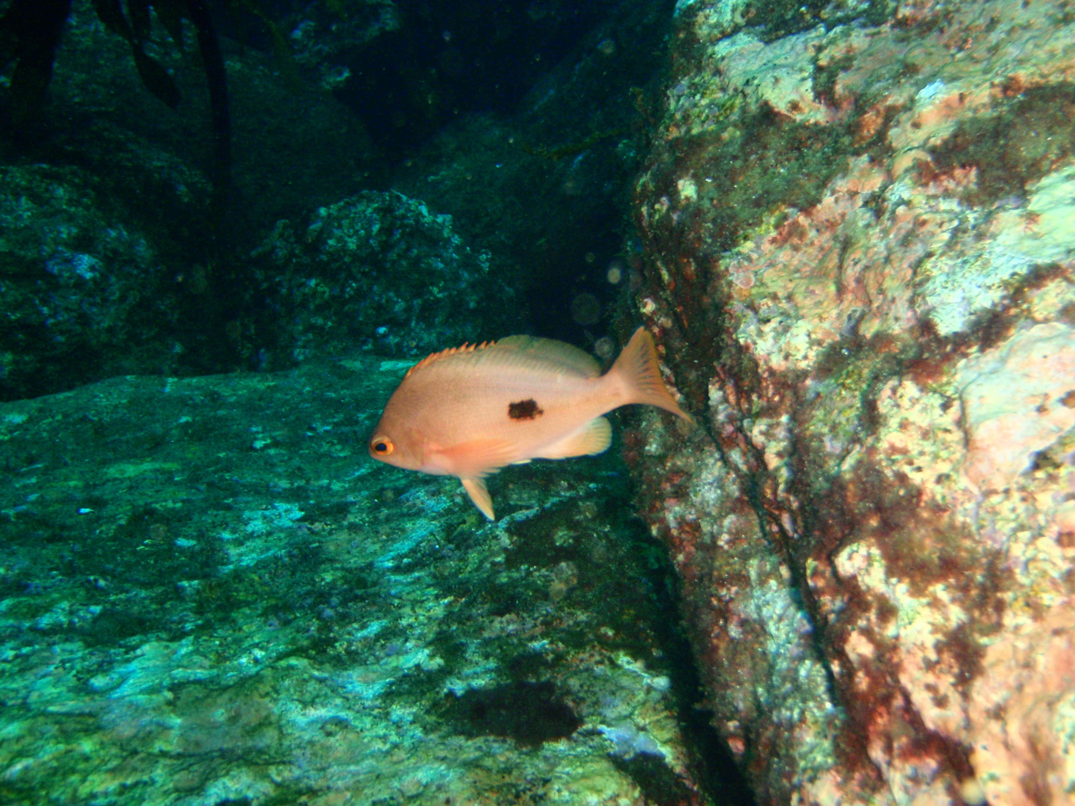
Description: English: Butterfly perch Caesioperca lepidoptera at Ile des Phoques, Tasmania. Date: 15 February 2014, 12:37:55. Source: Own work. Author: Peter Southwood. Camera location 42° 24′ 42.95″ S, 148° 09′ 43.27″ E: View all coordinates using: OpenStreetMap - Google Earth: -42.411930; 148.162020. at Ile des Phoques, Tasmania Licensing[edit] : This file is licensed under the Creative CommonsAttribution-Share Alike 3.0 Unported license.:. https://creativecommons.org/licenses/by-sa/3.0 CC BY-SA 3.0 Creative Commons Attribution-Share Alike 3.0 truetrue.
Description: English: Butterflty perch Caesioperca lepidoptera at Mistaken Cape, Maria Island, Tasmania. Date: 16 February 2014, 12:00:24. Source: Own work. Author: Peter Southwood. Camera location 42° 38′ 46.39″ S, 148° 09′ 47.59″ E: View all coordinates using: OpenStreetMap - Google Earth: -42.646220; 148.163220.
Description: English: Butterflty perch Caesioperca lepidoptera at Mistaken Cape, Maria Island, Tasmania. Date: 16 February 2014, 11:41:25. Source: Own work. Author: Peter Southwood. Camera location 42° 38′ 46.39″ S, 148° 09′ 47.59″ E: View all coordinates using: OpenStreetMap - Google Earth: -42.646220; 148.163220.
Description: English: Butterflty perch Caesioperca lepidoptera at Mistaken Cape, Maria Island, Tasmania. Date: 16 February 2014, 14:46:50. Source: Own work. Author: Peter Southwood. Camera location 42° 38′ 46.39″ S, 148° 09′ 47.59″ E: View all coordinates using: OpenStreetMap - Google Earth: -42.646220; 148.163220.


.jpg)