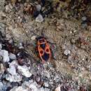
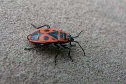
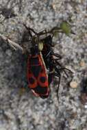
Description: Beschreibung: Feuerwanze (Pyrrhocoris apterus) Ort: Bad Soden, Hessen, Germany Fotograf: Olaf Mertens, 26.05.2005. Date: 26 May 2005 (according to Exif data). Source: No machine-readable source provided. Own work assumed (based on copyright claims). Author: No machine-readable author provided. OlafM assumed (based on copyright claims).
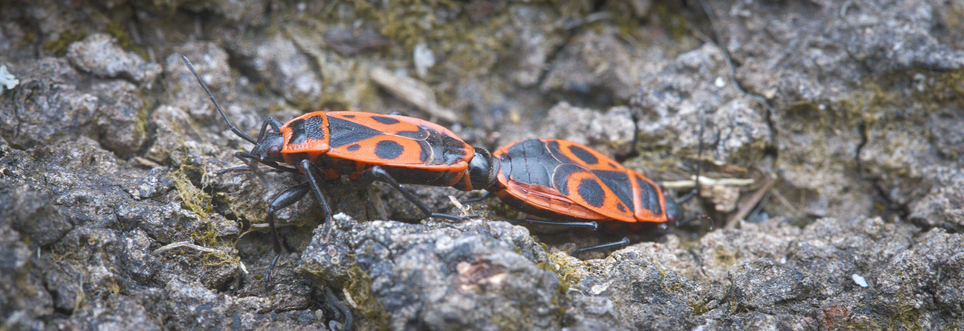
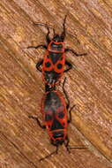
Description: Pyrrhocoris apterus Deutsch: Gemeine Feuerwanzen bei der Paarung English: Mating Firebugs. Date: 24 May 2008. Source: Own work. Author: Aconcagua. Permission(Reusing this file): GFDL, Cc-by-sa-3.0. : This photo was taken by Aconcagua. If you use one of my photos, an email (account needed) or a message would be greatly appreciated.For print media other licensing terms can get discussed. A specimen copy would be welcome.
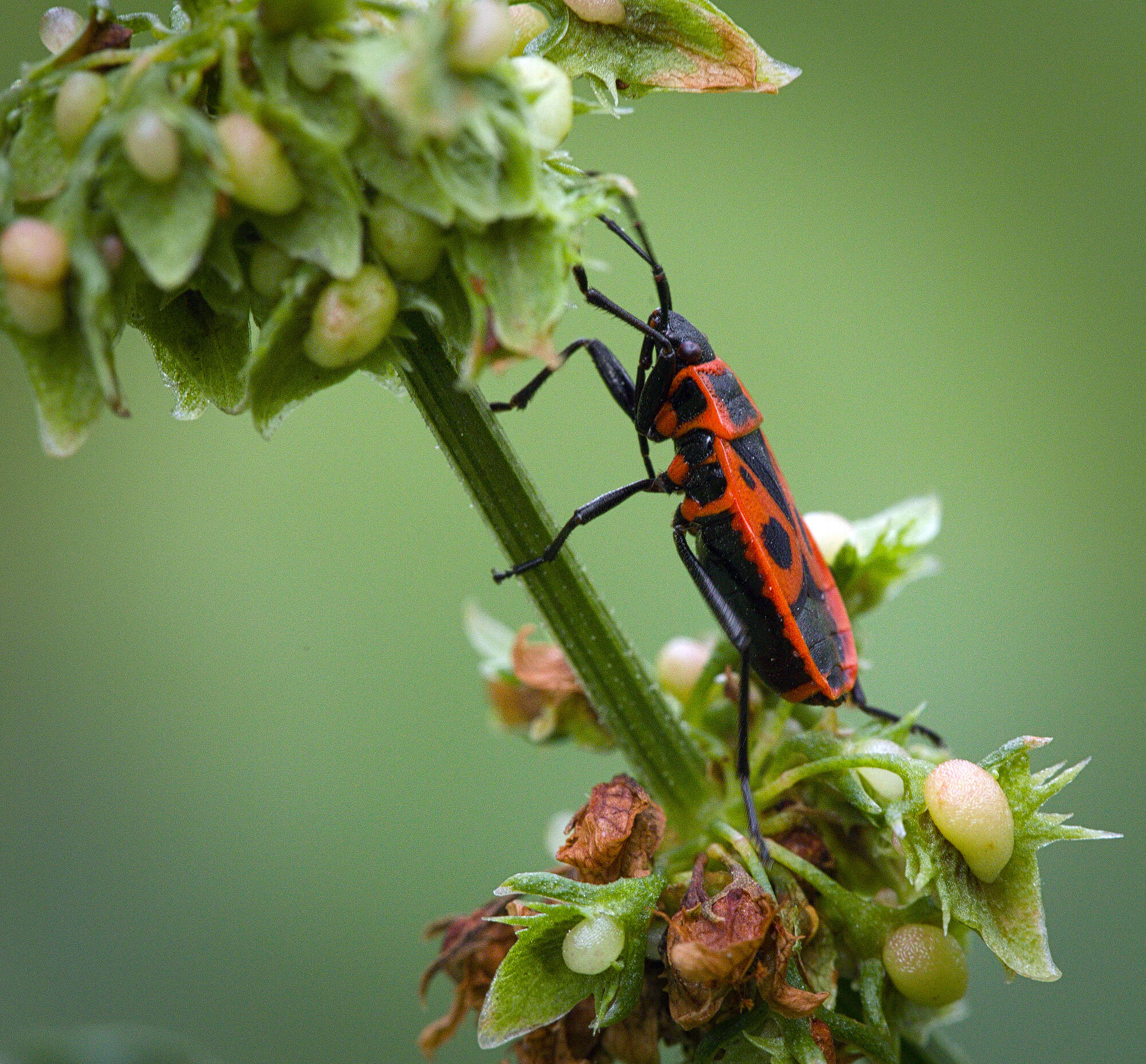
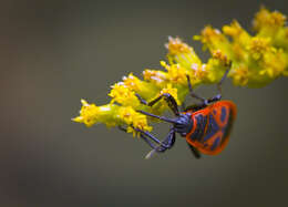
Description: Firebug (Pyrrhocoris apterus) on a goldendrod. Kowal bezskrzydły (Pyrrhocoris apterus) na nawłoci. Date: 15 August 2018, 13:54. Source: Firebug. Author: hedera.baltica from Wrocław, Poland. Camera location51° 04′ 45.93″ N, 17° 01′ 43.63″ EView all coordinates using: OpenStreetMap 51.079424; 17.028787.
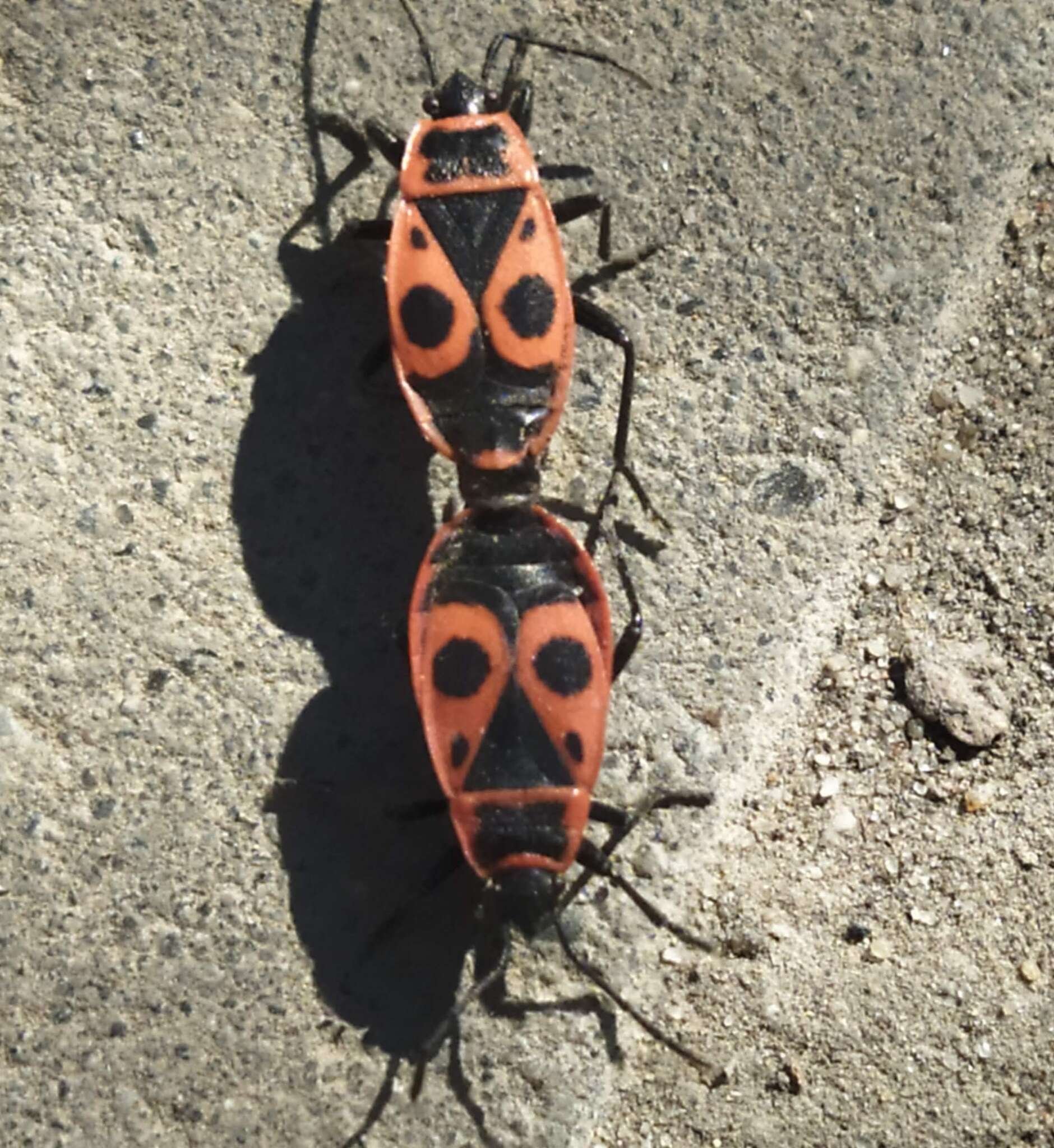
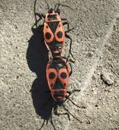
Description: A pair of firebugs (Pyrrhocoris apterus) during their multi-hour copulation. Para kowali bezskrzydłych (Pyrrhocoris apterus) podczas swojej wielogodzinnej kopulacji. Date: 5 May 2021, 15:45. Source: Firebugs. Author: hedera.baltica from Wrocław, Poland. Camera location51° 04′ 49.62″ N, 17° 01′ 39.69″ EView all coordinates using: OpenStreetMap 51.080449; 17.027692.
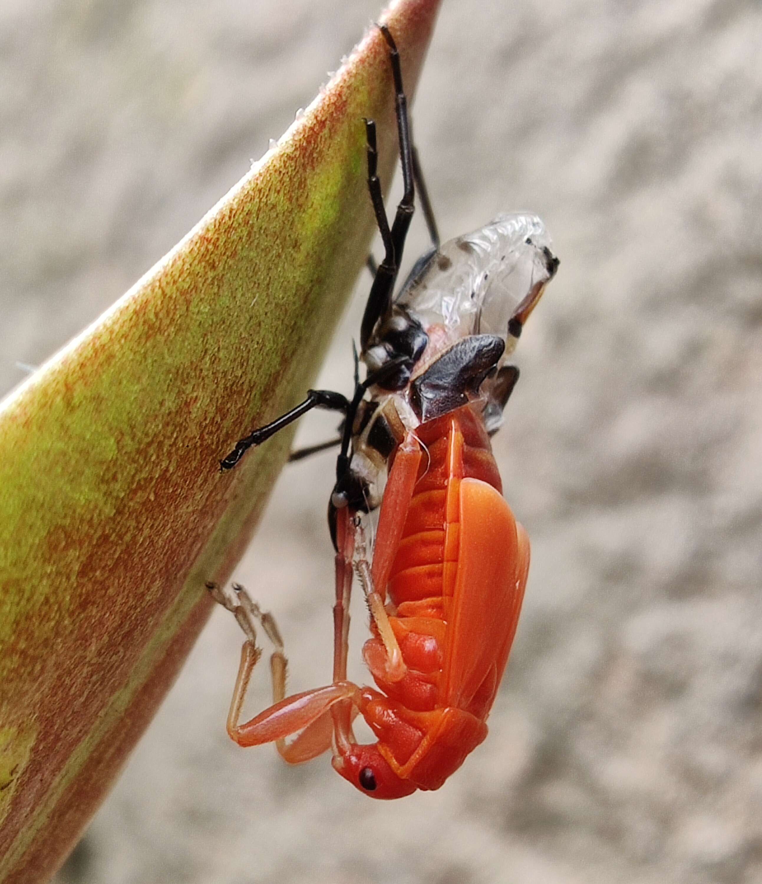
Description: Deutsch: Gemeine Feuerwanze (Pyrrhocoris apterus) bei der Häutung. Date: 17 July 2020 (according to Exif data). Source: Own work. Author: Vycro567. Camera location51° 26′ 13.74″ N, 9° 49′ 10.37″ EView all coordinates using: OpenStreetMap 51.437149; 9.819546.
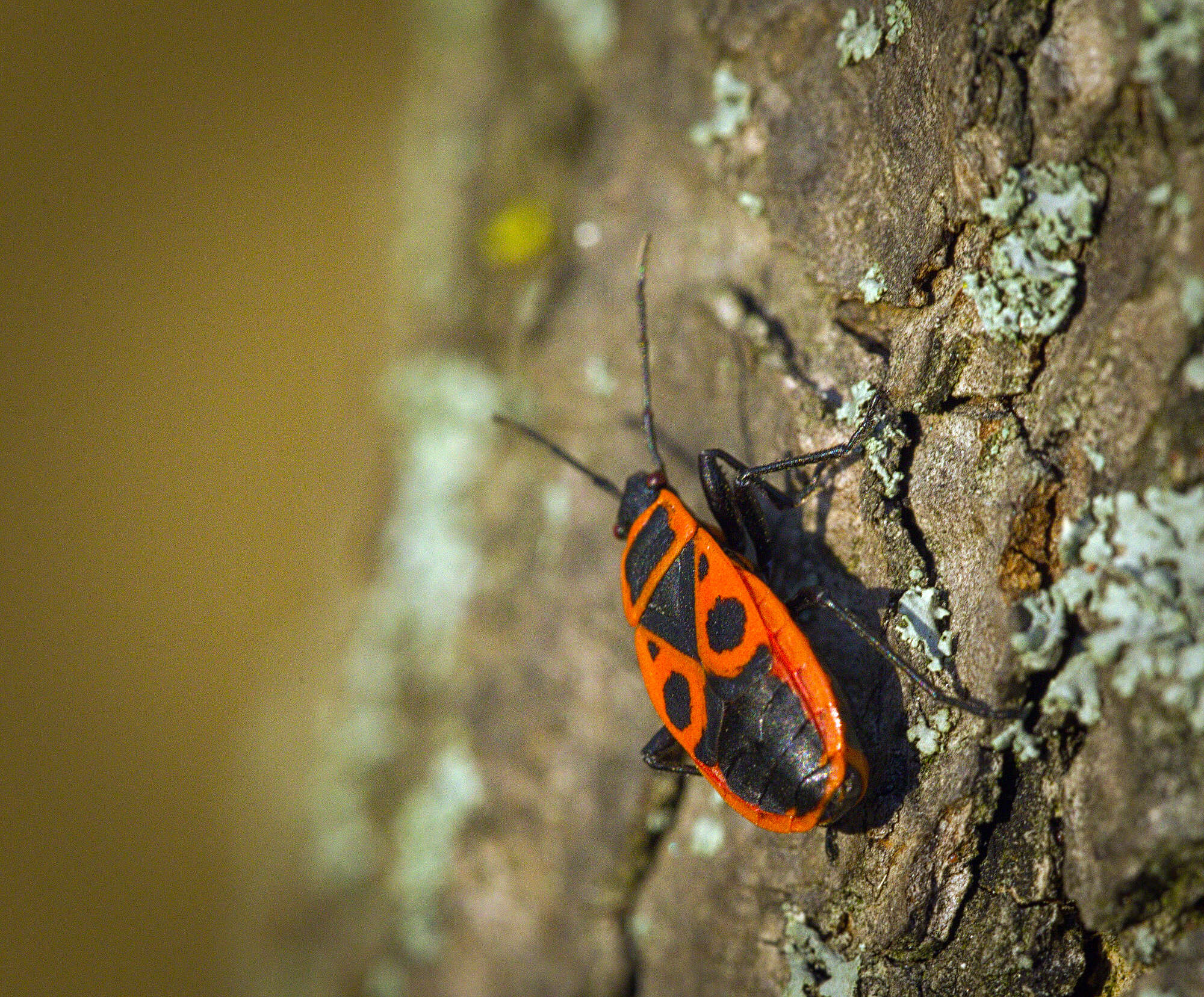
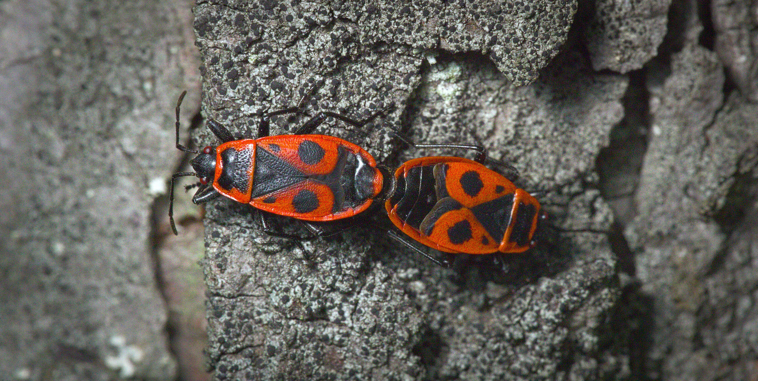
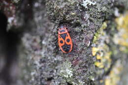
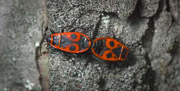
Description: Firebug (Pyrrhocoris apterus) on a lichen-covered tree trunk. Kowal bezskrzydły (Pyrrhocoris apterus) na pokrytym porostami pniu drzewa. Date: 6 October 2018, 16:50. Source: Firebug. Author: hedera.baltica from Wrocław, Poland. Camera location51° 04′ 54.54″ N, 17° 01′ 43.01″ EView all coordinates using: OpenStreetMap 51.081817; 17.028615.
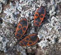
Summary.mw-parser-output table.commons-file-information-table,.mw-parser-output.fileinfotpl-type-information{border:1px solid #a2a9b1;background-color:#f8f9fa;padding:5px;font-size:95%;border-spacing:2px;box-sizing:border-box;margin:0;width:100%}.mw-parser-output table.commons-file-information-table>tbody>tr,.mw-parser-output.fileinfotpl-type-information>tbody>tr{vertical-align:top}.mw-parser-output table.commons-file-information-table>tbody>tr>td,.mw-parser-output table.commons-file-information-table>tbody>tr>th,.mw-parser-output.fileinfotpl-type-information>tbody>tr>td,.mw-parser-output.fileinfotpl-type-information>tbody>tr>th{padding:4px}.mw-parser-output.fileinfo-paramfield{background:#ccf;text-align:right;padding-right:0.4em;width:15%;font-weight:bold}.mw-parser-output.commons-file-information-table+table.commons-file-information-table,.mw-parser-output.commons-file-information-table+div.commons-file-information-table>table{border-top:0;padding-top:0;margin-top:-8px}@media only screen and (max-width:719px){.mw-parser-output table.commons-file-information-table,.mw-parser-output.commons-file-information-table.fileinfotpl-type-information{border-spacing:0;padding:0;word-break:break-word;width:100%!important}.mw-parser-output.commons-file-information-table>tbody,.mw-parser-output.fileinfotpl-type-information>tbody{display:block}.mw-parser-output.commons-file-information-table>tbody>tr>td,.mw-parser-output.commons-file-information-table>tbody>tr>th,.mw-parser-output.fileinfotpl-type-information>tbody>tr>td,.mw-parser-output.fileinfotpl-type-information>tbody>tr>th{padding:0.2em 0.4em;text-align:left;text-align:start}.mw-parser-output.commons-file-information-table>tbody>tr,.mw-parser-output.fileinfotpl-type-information>tbody>tr{display:flex;flex-direction:column}.mw-parser-output.commons-file-information-table+table.commons-file-information-table,.mw-parser-output.commons-file-information-table+div.commons-file-information-table>table{margin-top:-1px}.mw-parser-output.fileinfo-paramfield{box-sizing:border-box;flex:1 0 100%;width:100%}} Description: Deutsch: Ansammlung gemeiner Feuerwanzen (Pyrrhocoris apterus) auf einem Baum, Schwerin 2020 English: A group of Pyrrhocoridae on a tree, Schwerin 2020. Date: 1 August 2020. Source: Own work. Author: Maximilian von Bremen-Kühne.
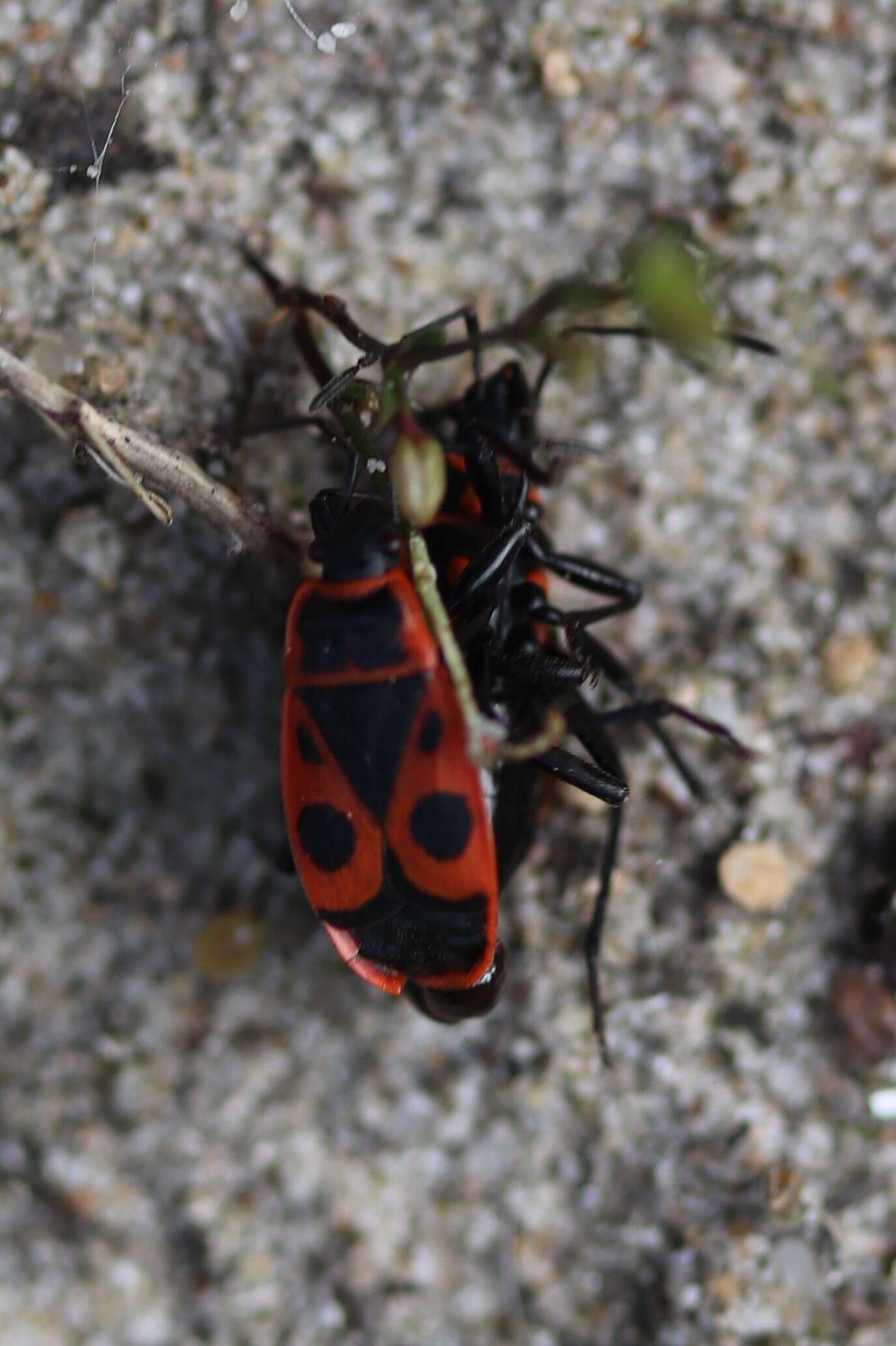
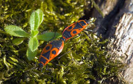
Description: Copulating pair of firebugs (Pyrrhocoris apterus) on a moss covering a tree. Kopulująca para kowali bezskrzydłych (Pyrrhocoris apterus) na porastającym drzewo mchu. Date: 21 April 2019, 17:58. Source: Love is in the air. Author: hedera.baltica from Wrocław, Poland. Camera location51° 04′ 46.92″ N, 17° 01′ 35.64″ EView all coordinates using: OpenStreetMap 51.079701; 17.026566.
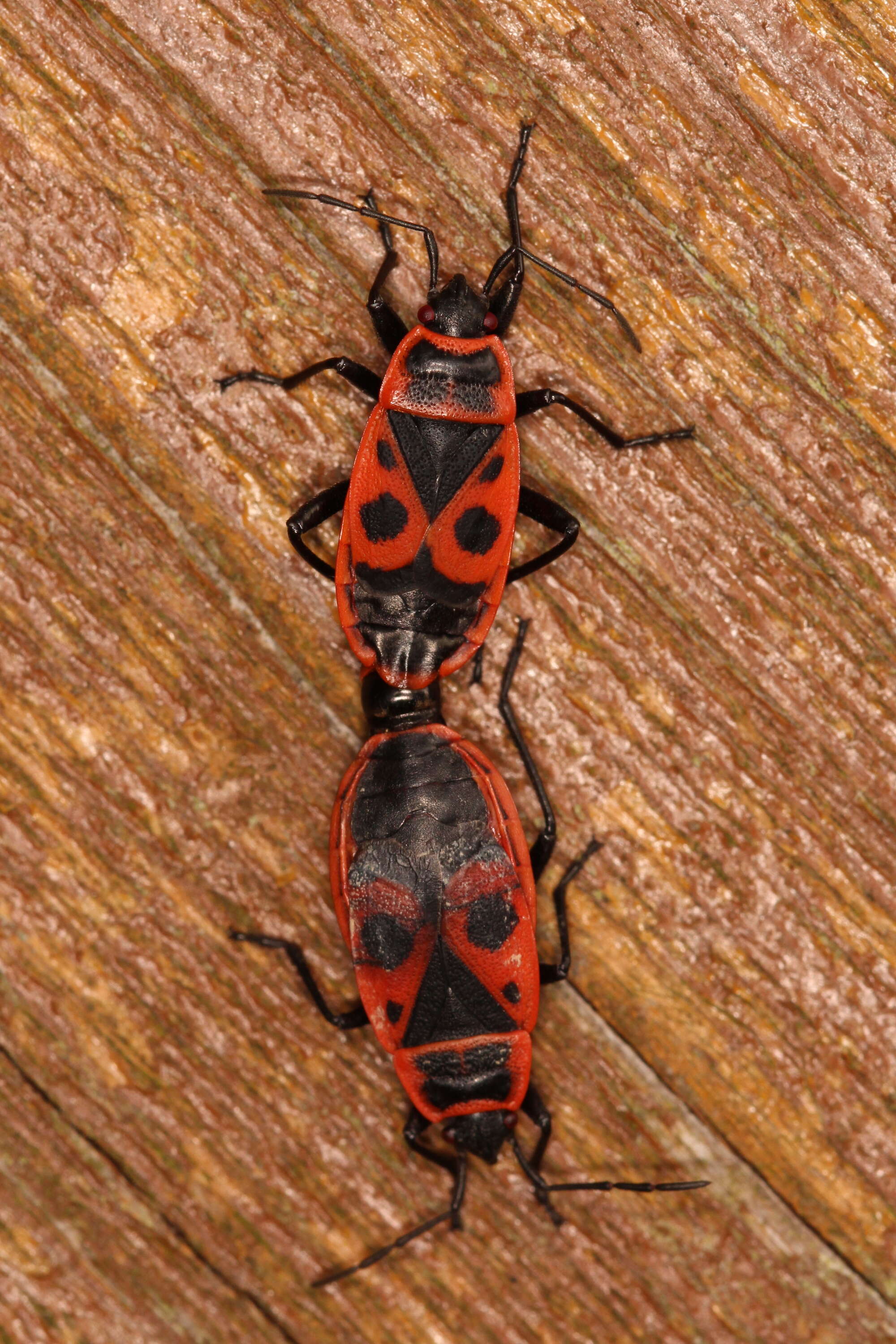
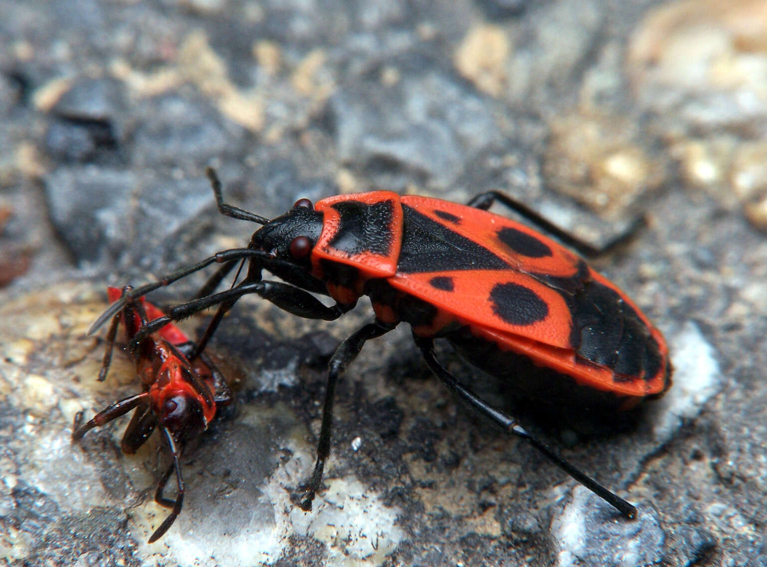
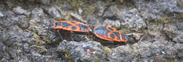
Description: A pair of firebugs (Pyrrhocoris apterus) copulating on a tree bark. Firebugs are well known for copulating for many hours, even whole week. Para kowali bezskrzydłych (Pyrrhocoris apterus) kopulujących na korze drzewa. Kowale są poszechnie znane z trwających wiele godzin, a nawet cały tydzień, kopulacji. Date: 31 March 2019, 20:55. Source: Persistent lovers. Author: hedera.baltica from Wrocław, Poland. Camera location51° 04′ 54.54″ N, 17° 01′ 43.01″ EView all coordinates using: OpenStreetMap 51.081817; 17.028615.
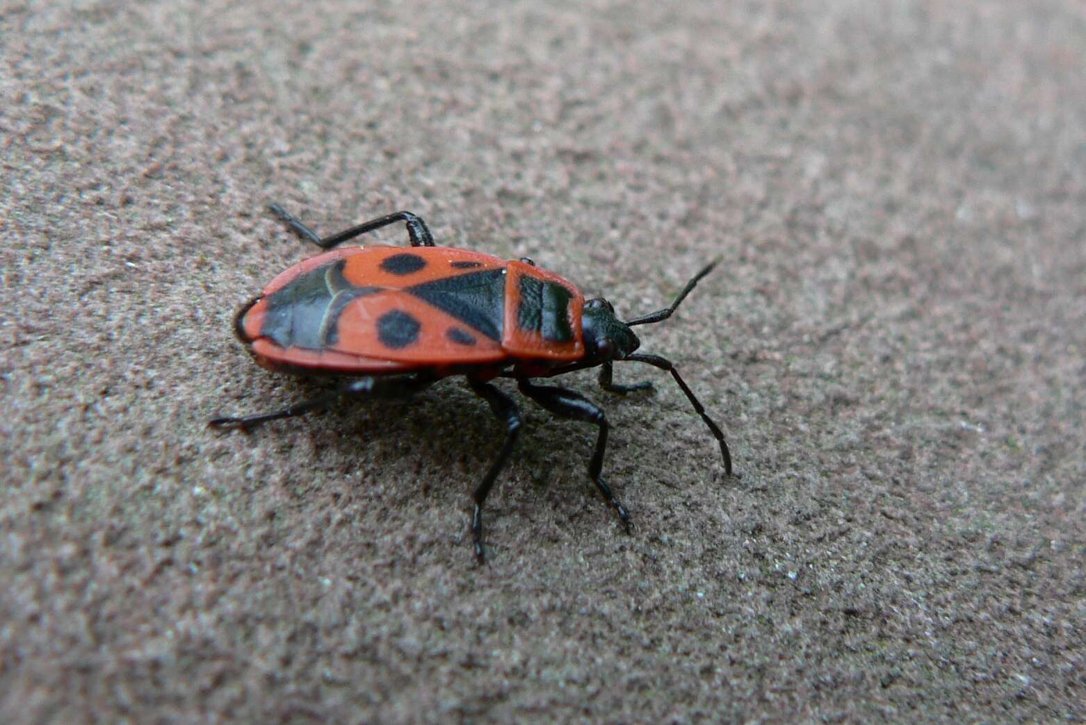
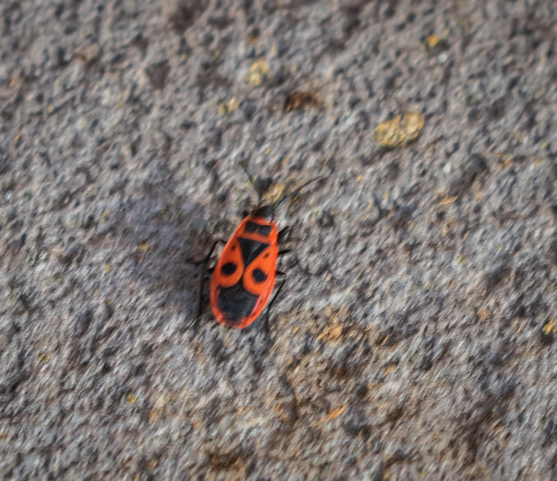
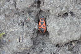
Description: English: Pyrrhocoris apterus in Saint-Ignat, Puy-de-Dôme, France. Date: 16 October 2022, 16:46:29. Source: Own work. Author: Krzysztof Golik. Camera location45° 55′ 25.32″ N, 3° 16′ 21.36″ EView all coordinates using: OpenStreetMap 45.923700; 3.272600.


.svg)