Peucedanum palustre sl5

Description:
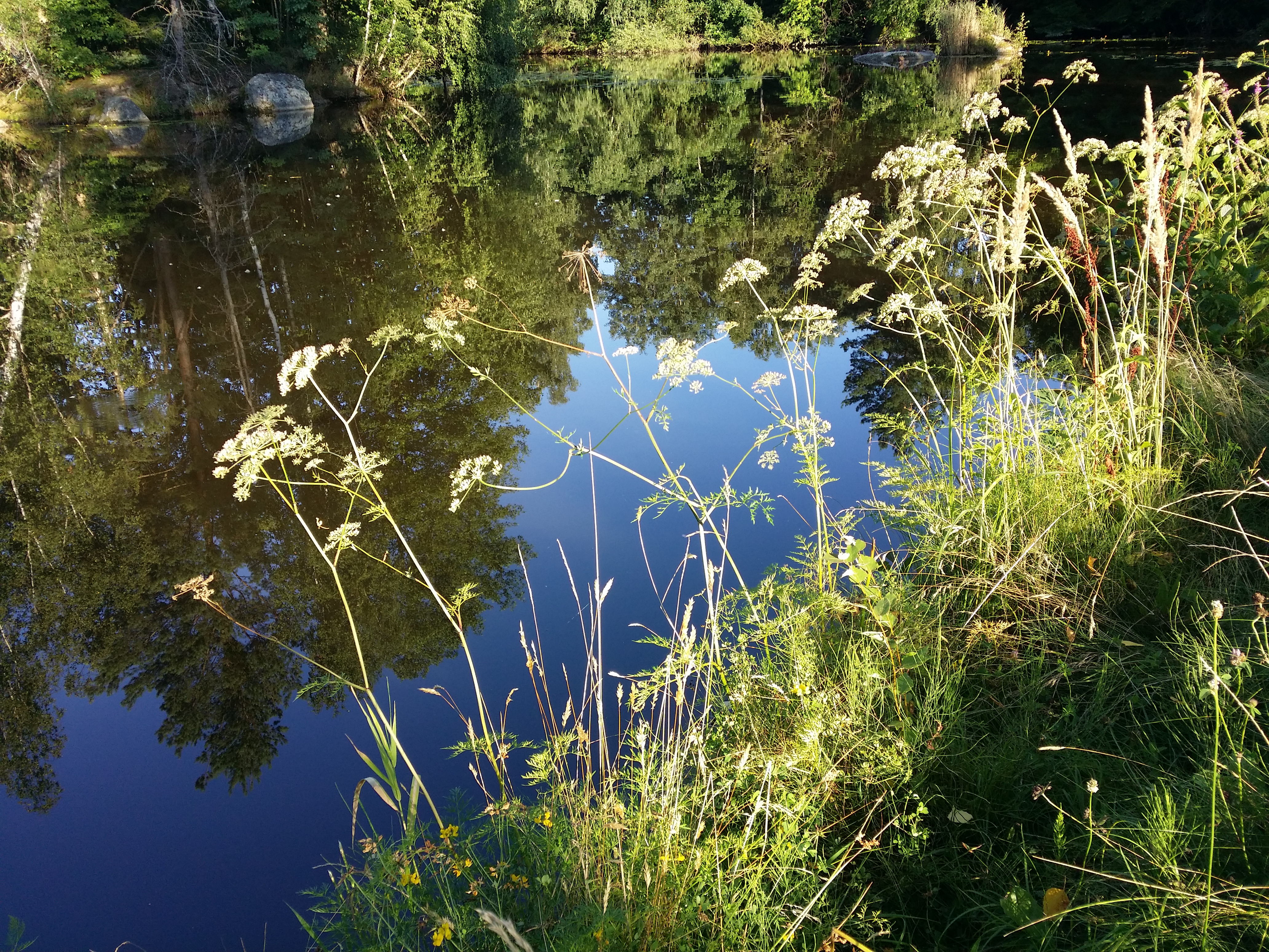
Description: Deutsch: Habitus Taxonym: Peucedanum palustre ss Fischer et al. EfÖLS 2008 ISBN 978-3-85474-187-9 Fundort: Teich in der Blockheide bei Gmünd, Bezirk Gmünd, Niederösterreich - ca. 500 m ü. A. Standort: Teichufer English: Habitus Taxonym: Peucedanum palustre ss Fischer et al. EfÖLS 2008 ISBN 978-3-85474-187-9 Location: pond in Blockheide near Gmünd, district Gmünd, Lower Austria - ca. 500 m a.s.l. Habitat: shore of a pond. Date: 14 August 2021, 18:22:09. Source: Own work. Author: Stefan.lefnaer. Camera location48° 46′ 40.18″ N, 14° 59′ 46.72″ E View all coordinates using: OpenStreetMap 48.777828; 14.996312.
Included On The Following Pages:
- Biota
- Eukaryota (eukaryotes)
- Plantae (plant)
- Viridiplantae
- Embryophyta
- Tracheophyta (ferns)
- Spermatophytes (seed plants)
- Magnoliophyta
- Rosopsida
- Cornidae
- Aralianae
- Araliales
- Apiaceae (umbellifers)
- Apioideae
- Peucedanum (Hog's Fennel)
- Peucedanum palustre
This image is not featured in any collections.
Source Information
- license
- cc-by-sa-3.0
- copyright
- Stefan.lefnaer
- creator
- Stefan.lefnaer
- original
- original media file
- visit source
- partner site
- Wikimedia Commons
- ID