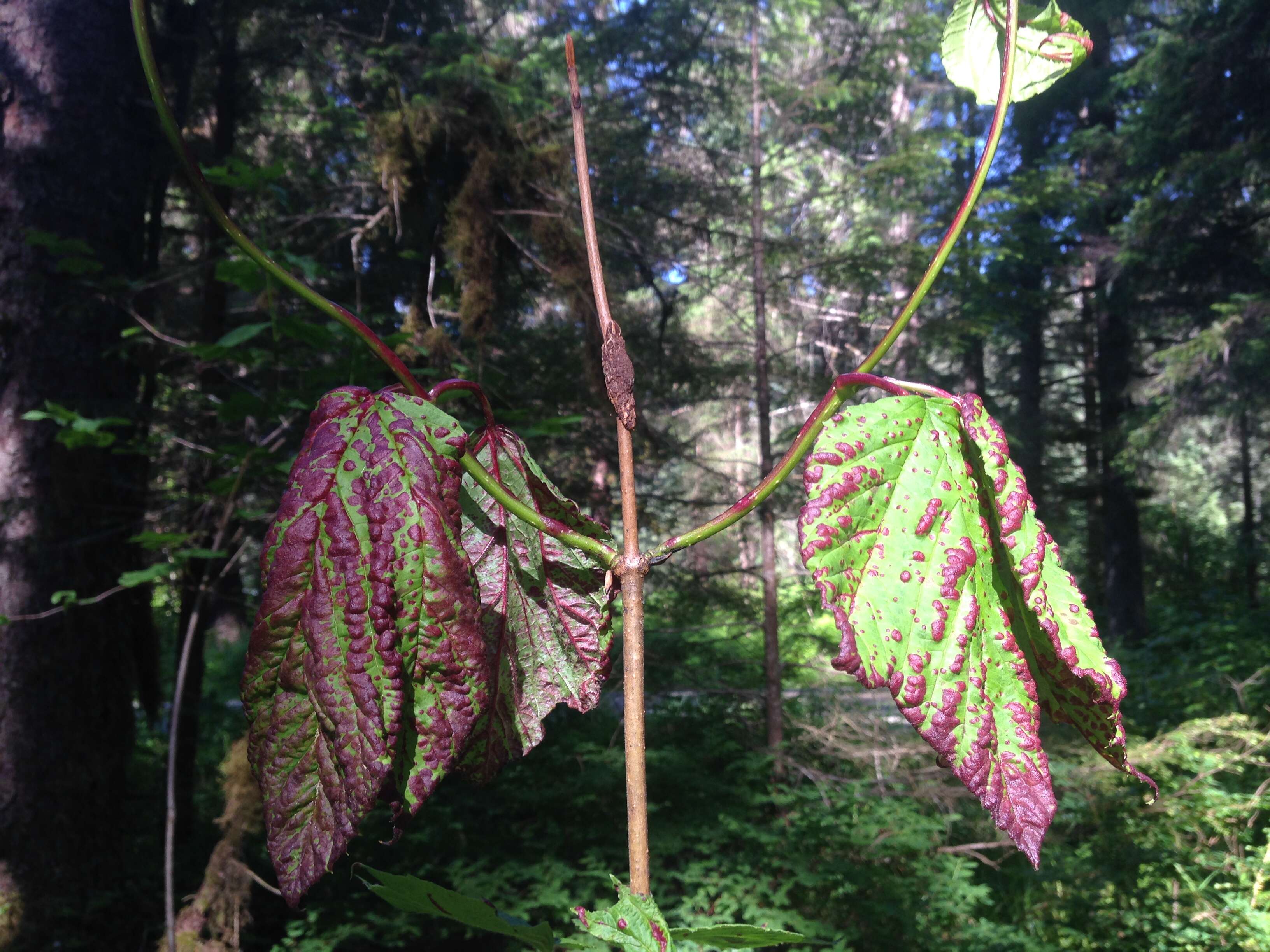
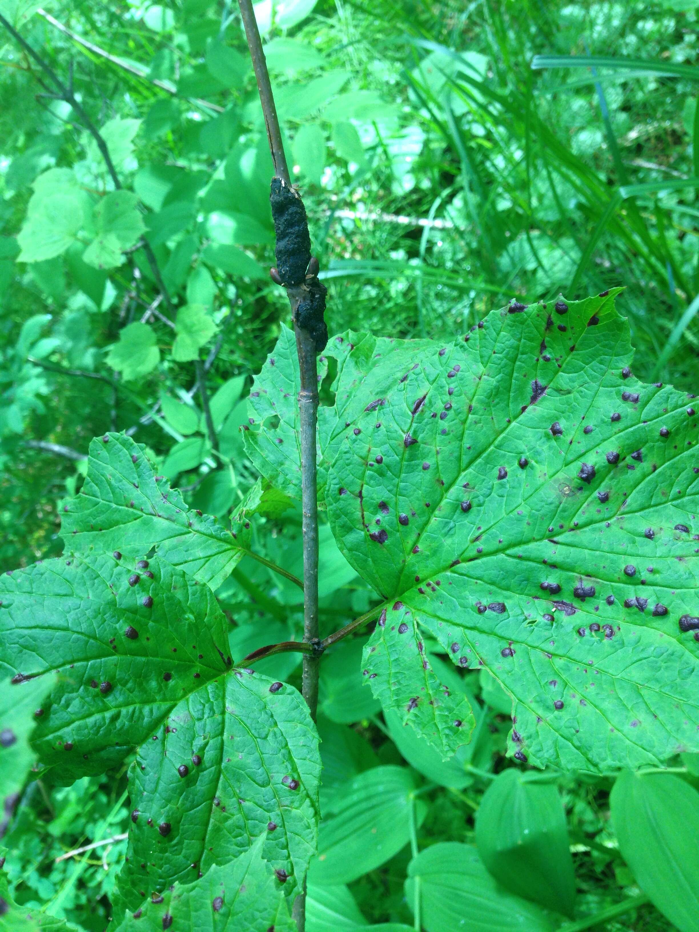
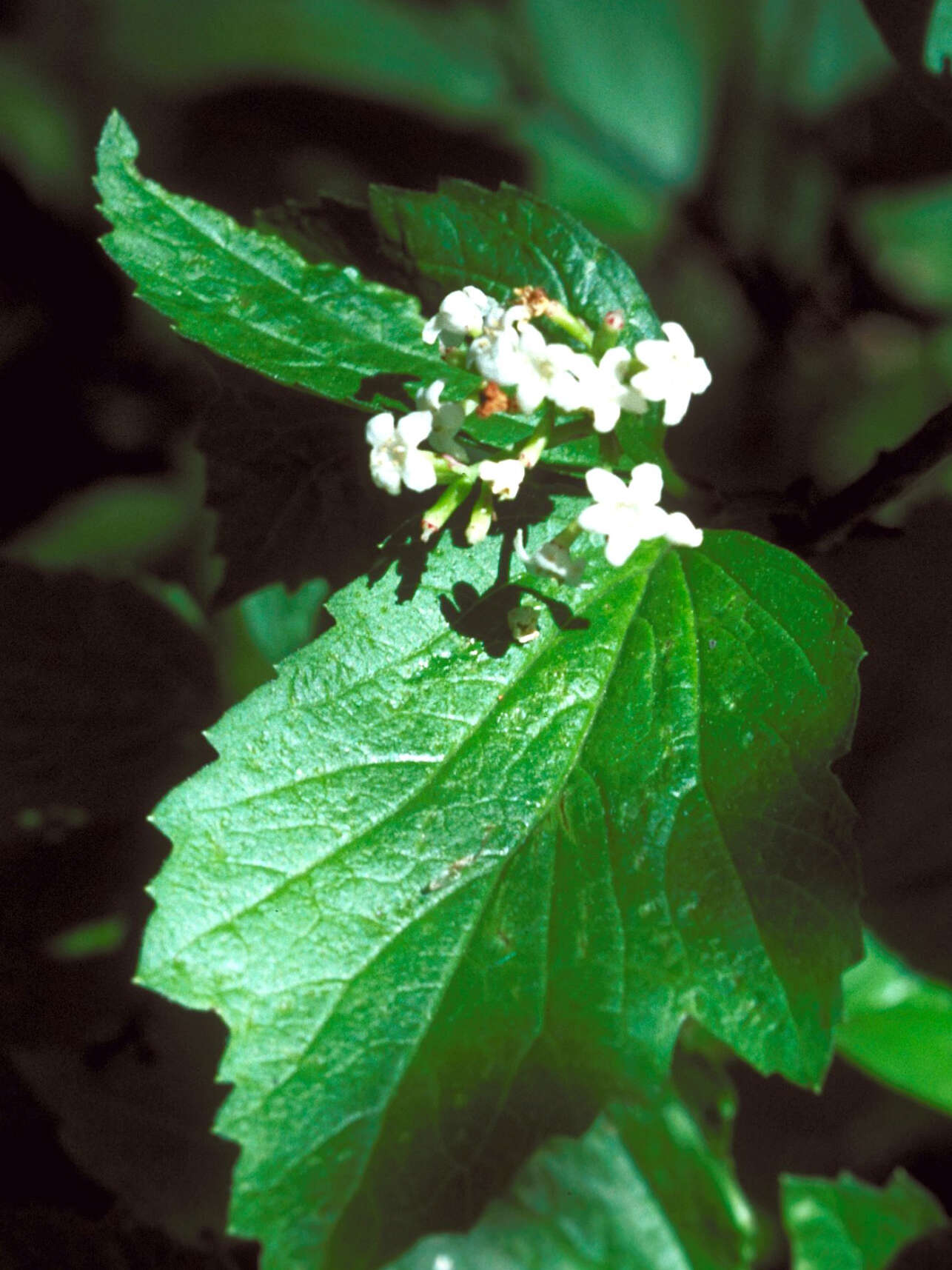
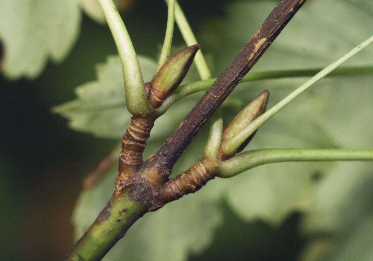
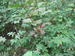
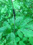
Description: English: Disease of highbush cranberry - Forest Health Protection (State & Private Forestry) has documented a stem and foliar disease of highbush cranberry (Viburnum edule) in Juneau along Windfall, Herbert Glacier, and Brotherhood Trails. Please contact Robin Mulvey (rlmulvey@fs.fed.us; 907-500-4962) to report additional disease sightings. If possible, please provide GPS coordinates and photos or specimens (fresh or pressed/dried). Date: 27 June 2014, 09:45:49. Source: https://www.flickr.com/photos/alaska_region/14359647258. Author: USDA Forest Service Alaska Region. Camera location58° 31′ 27.31″ N, 134° 47′ 34.58″ WView all coordinates using: OpenStreetMap 58.524253; -134.792939.
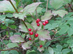
Description: English: Disease of highbush cranberry - Forest Health Protection (State & Private Forestry) has documented a stem and foliar disease of highbush cranberry (Viburnum edule) in Juneau along Windfall, Herbert Glacier, and Brotherhood Trails. Please contact Robin Mulvey (rlmulvey@fs.fed.us; 907-500-4962) to report additional disease sightings. If possible, please provide GPS coordinates and photos or specimens (fresh or pressed/dried). Date: 27 June 2014, 09:46:00. Source: https://www.flickr.com/photos/alaska_region/14566339503. Author: USDA Forest Service Alaska Region. Camera location58° 31′ 27.31″ N, 134° 47′ 34.58″ WView all coordinates using: OpenStreetMap 58.524253; -134.792939.
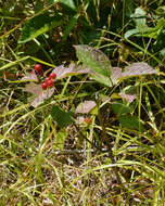
Description: English: Disease of highbush cranberry - Forest Health Protection (State & Private Forestry) has documented a stem and foliar disease of highbush cranberry (Viburnum edule) in Juneau along Windfall, Herbert Glacier, and Brotherhood Trails. Please contact Robin Mulvey (rlmulvey@fs.fed.us; 907-500-4962) to report additional disease sightings. If possible, please provide GPS coordinates and photos or specimens (fresh or pressed/dried). Date: 26 June 2014, 11:03:38. Source: https://www.flickr.com/photos/alaska_region/14542838781. Author: USDA Forest Service Alaska Region. Camera location58° 31′ 24.59″ N, 134° 47′ 35.51″ WView all coordinates using: OpenStreetMap 58.523497; -134.793197.
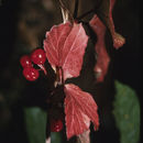
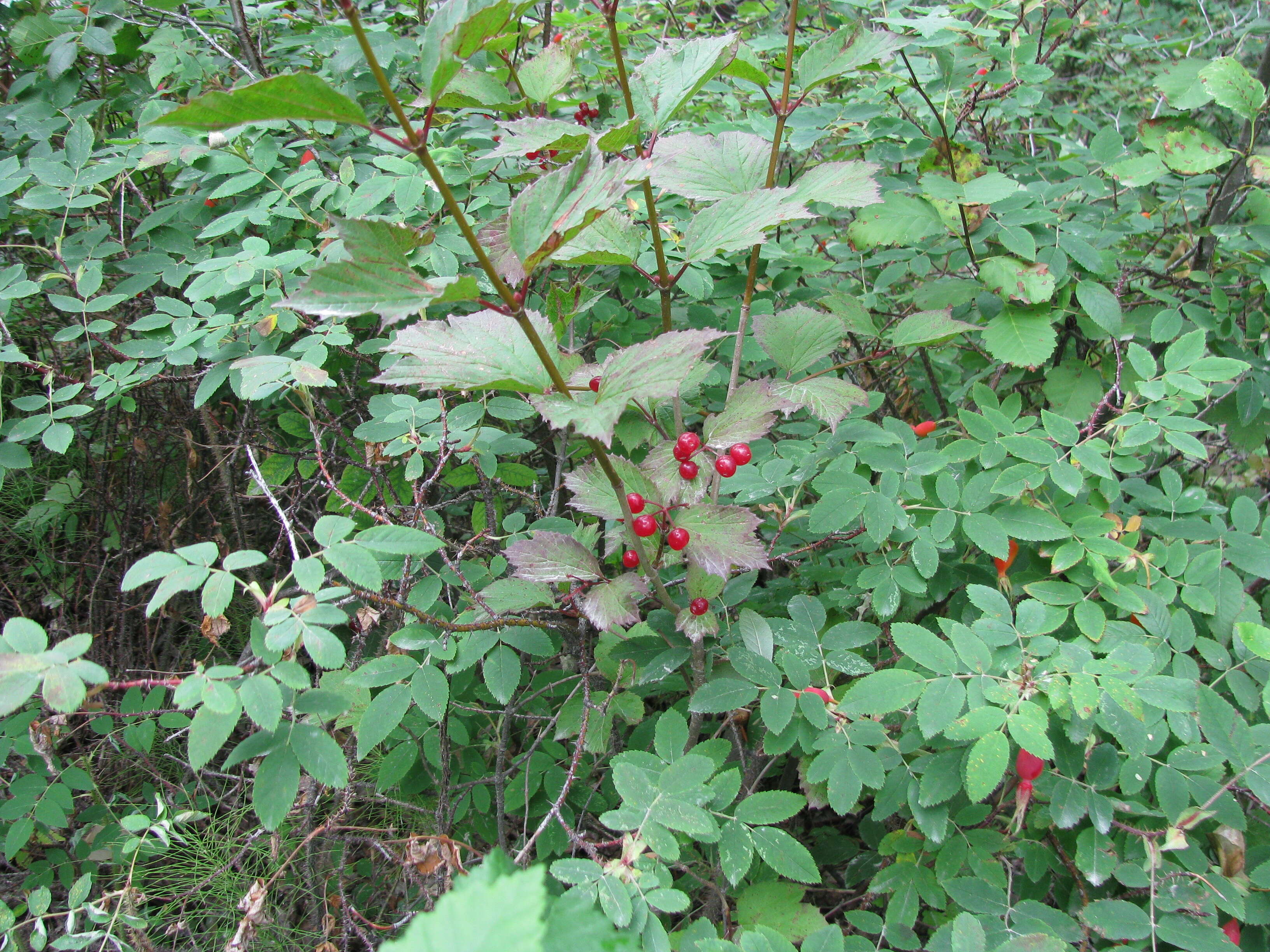
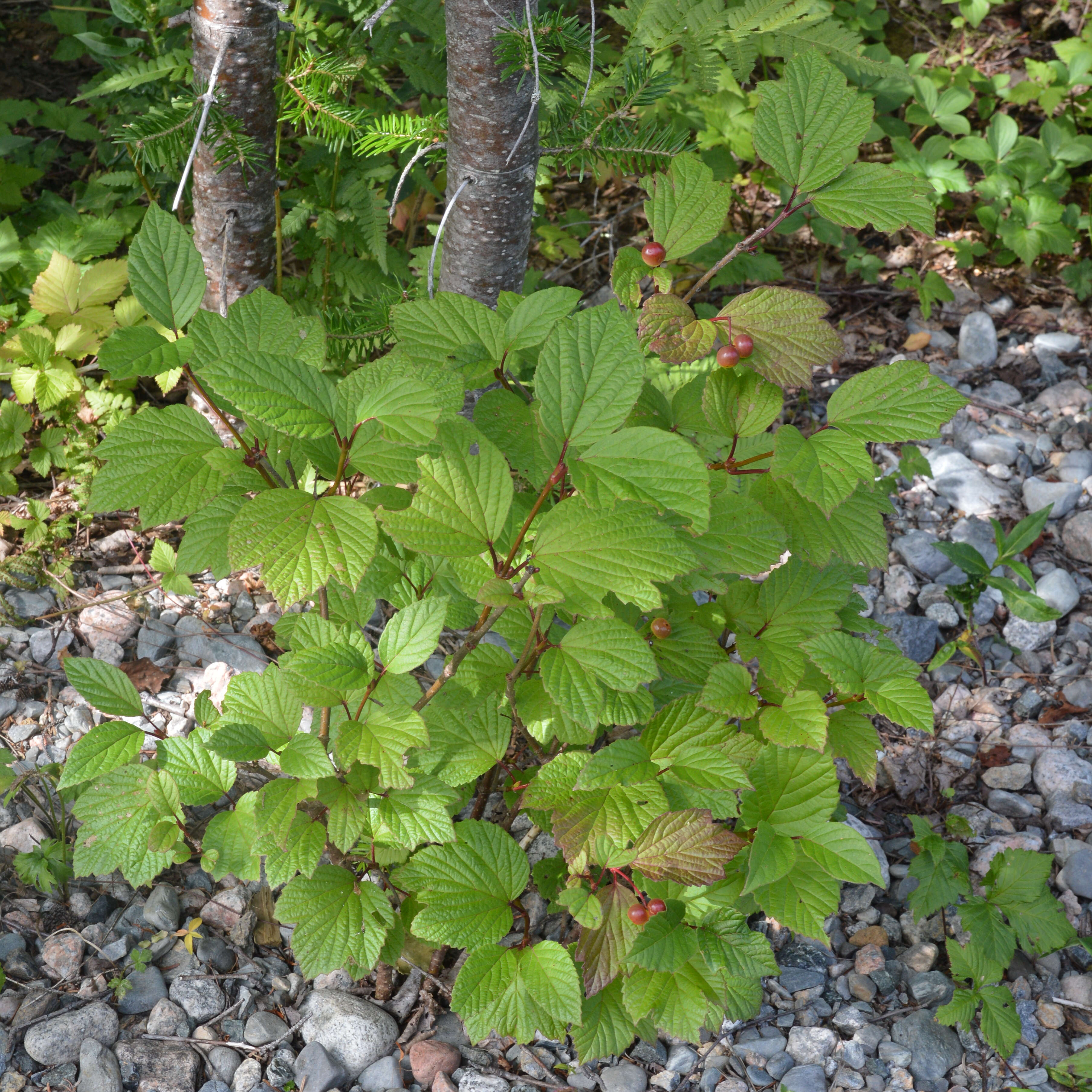
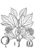
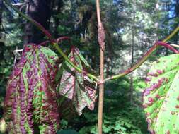
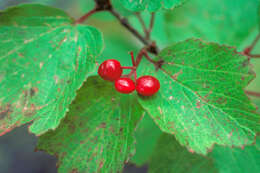
Description: Squashberry (Viburnum edule) in Springdale, Newfoundland and Labrador, Canada. Date: 16 August 2019, 12:46. Source: Own work. Author: Ryan Hodnett. : This media file is part of an observation on iNaturalist:inaturalist.org/observations/36105770This tag does not indicate the copyright status of the attached work. A normal copyright tag is still required. See Commons:Licensing.
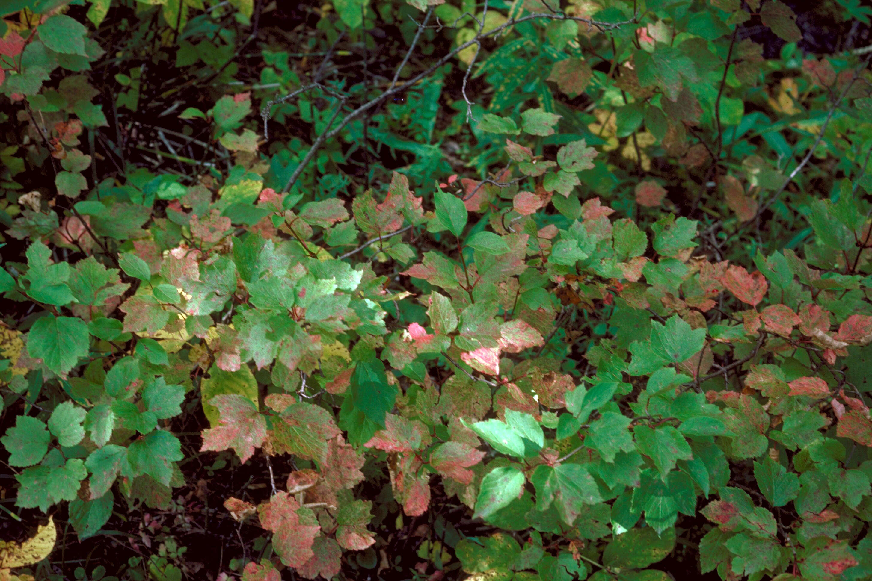
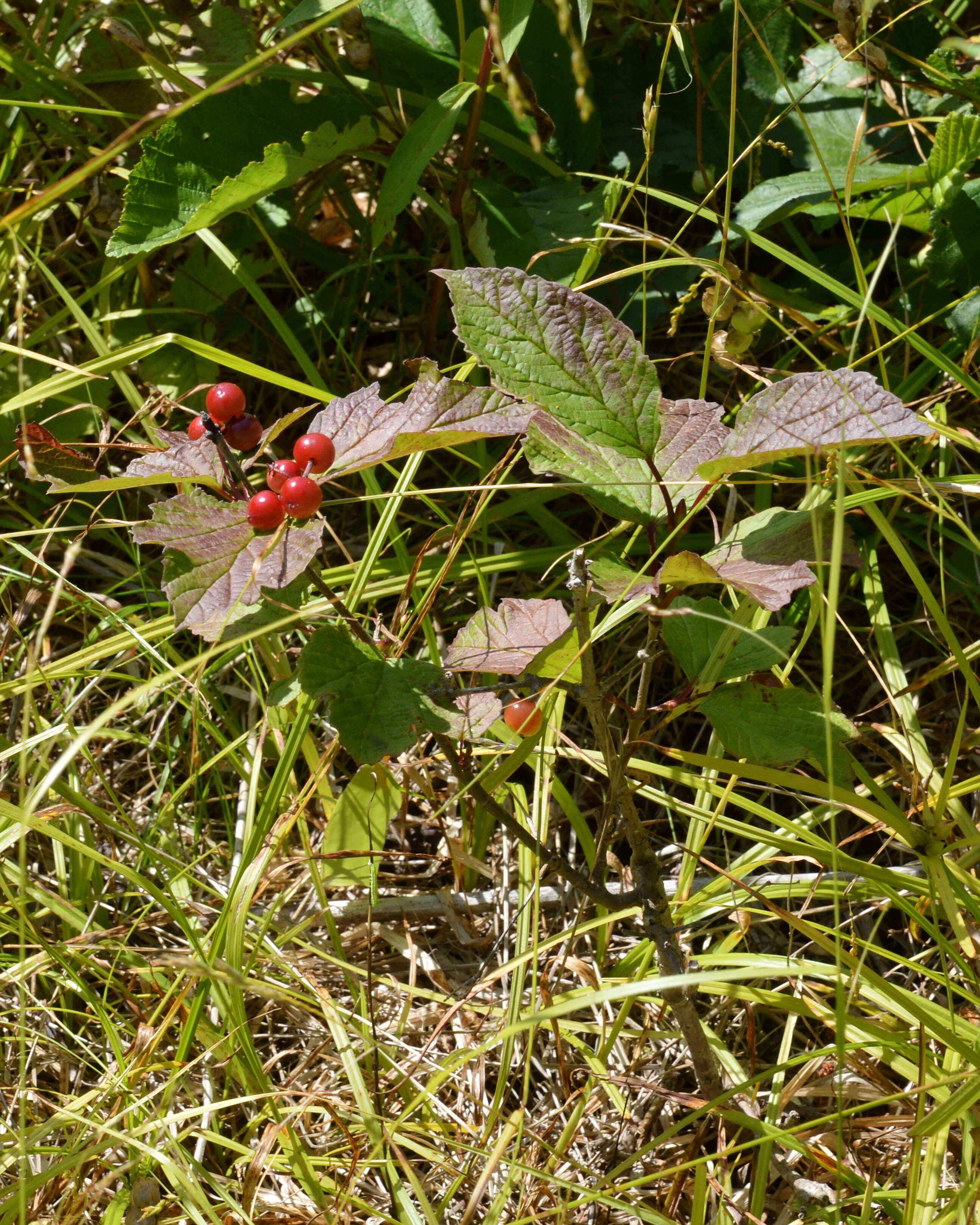
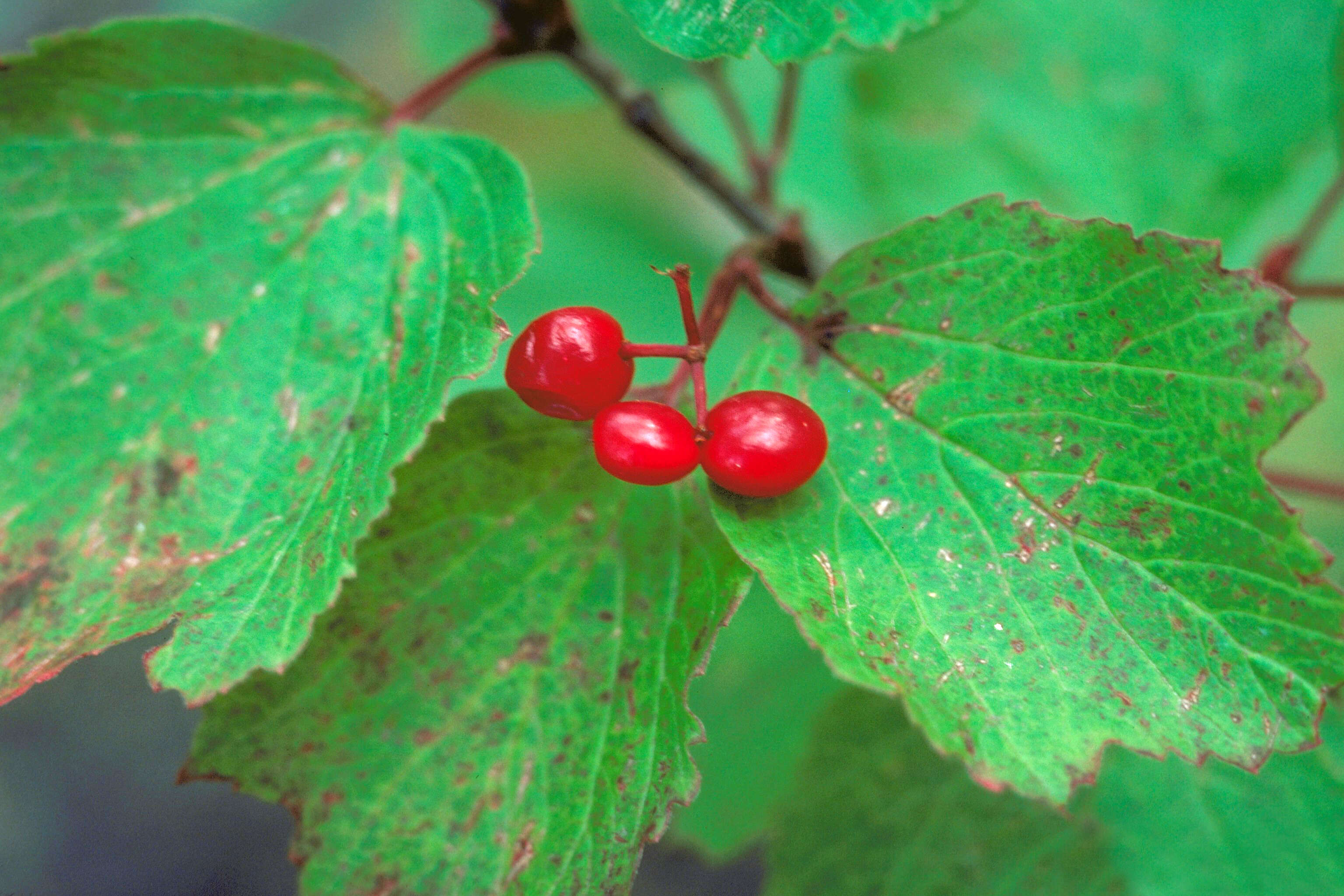
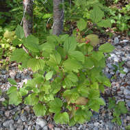
Description: Squashberry (Viburnum edule) in Gander, Newfoundland and Labrador, Canada. Date: 21 August 2019, 13:01. Source: Own work. Author: Ryan Hodnett.


